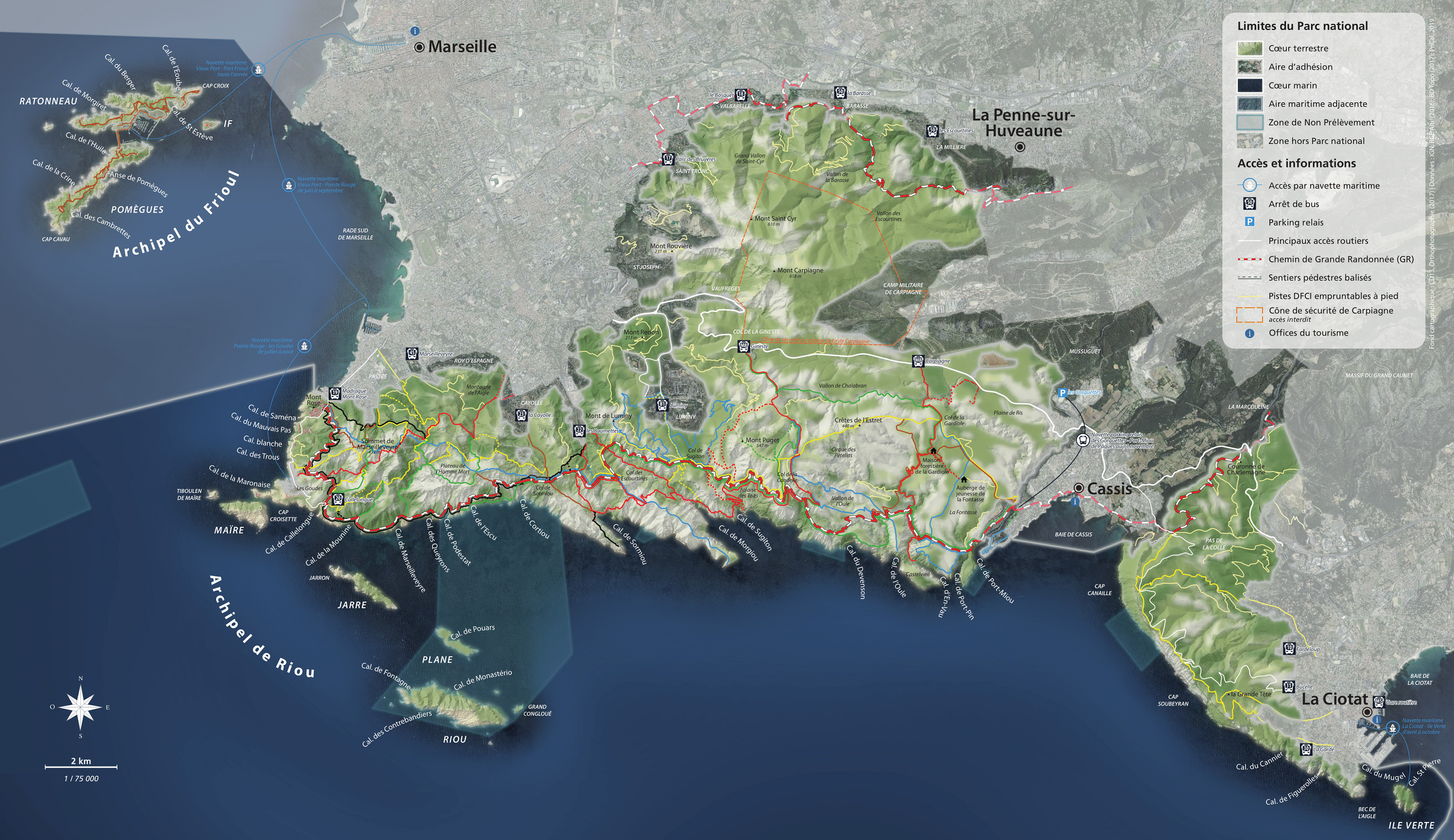

Between the city and nature
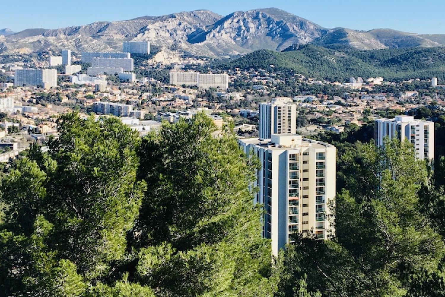
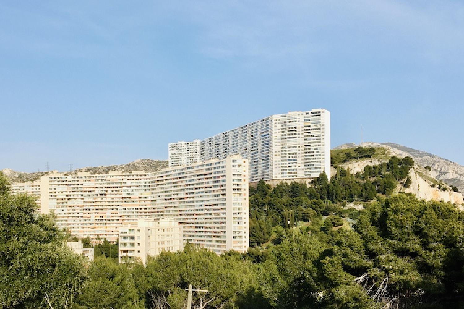
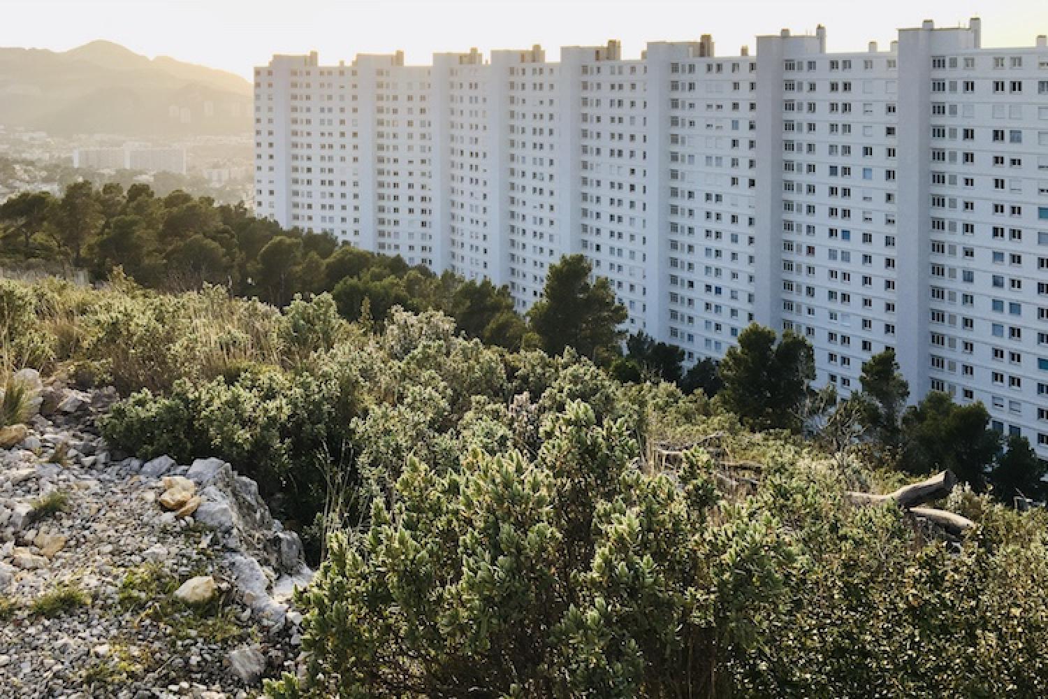
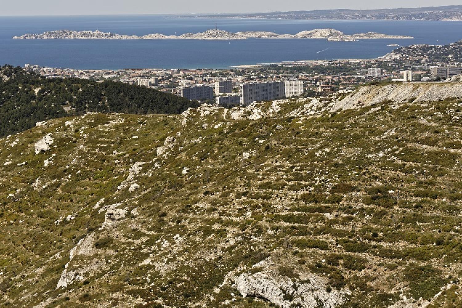
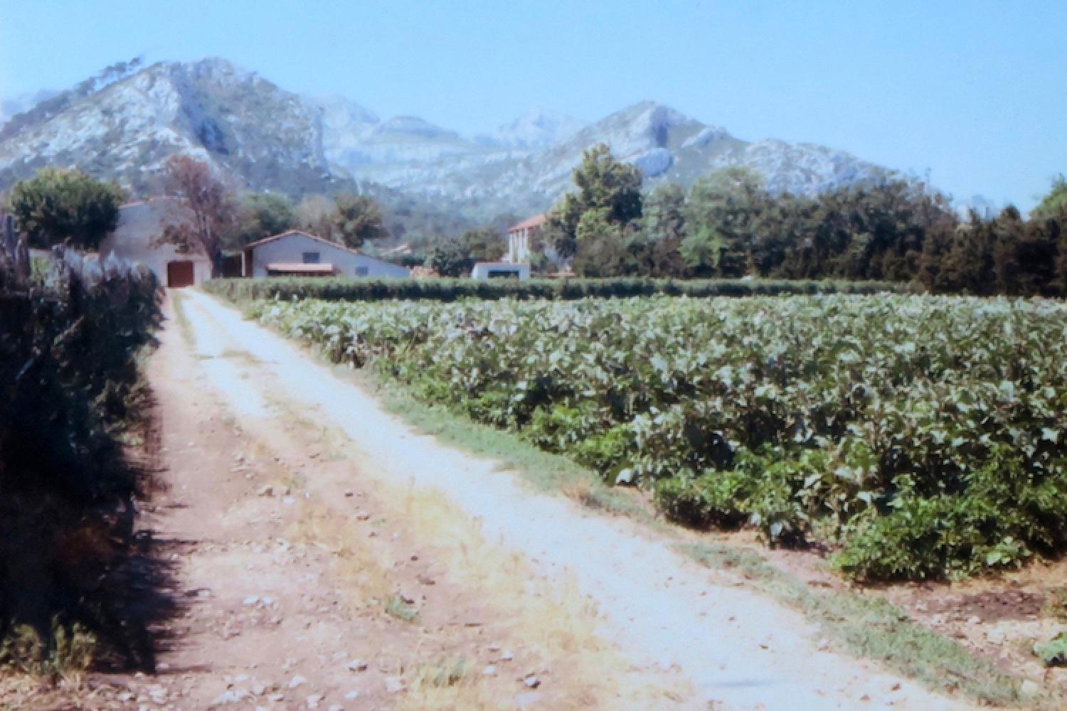
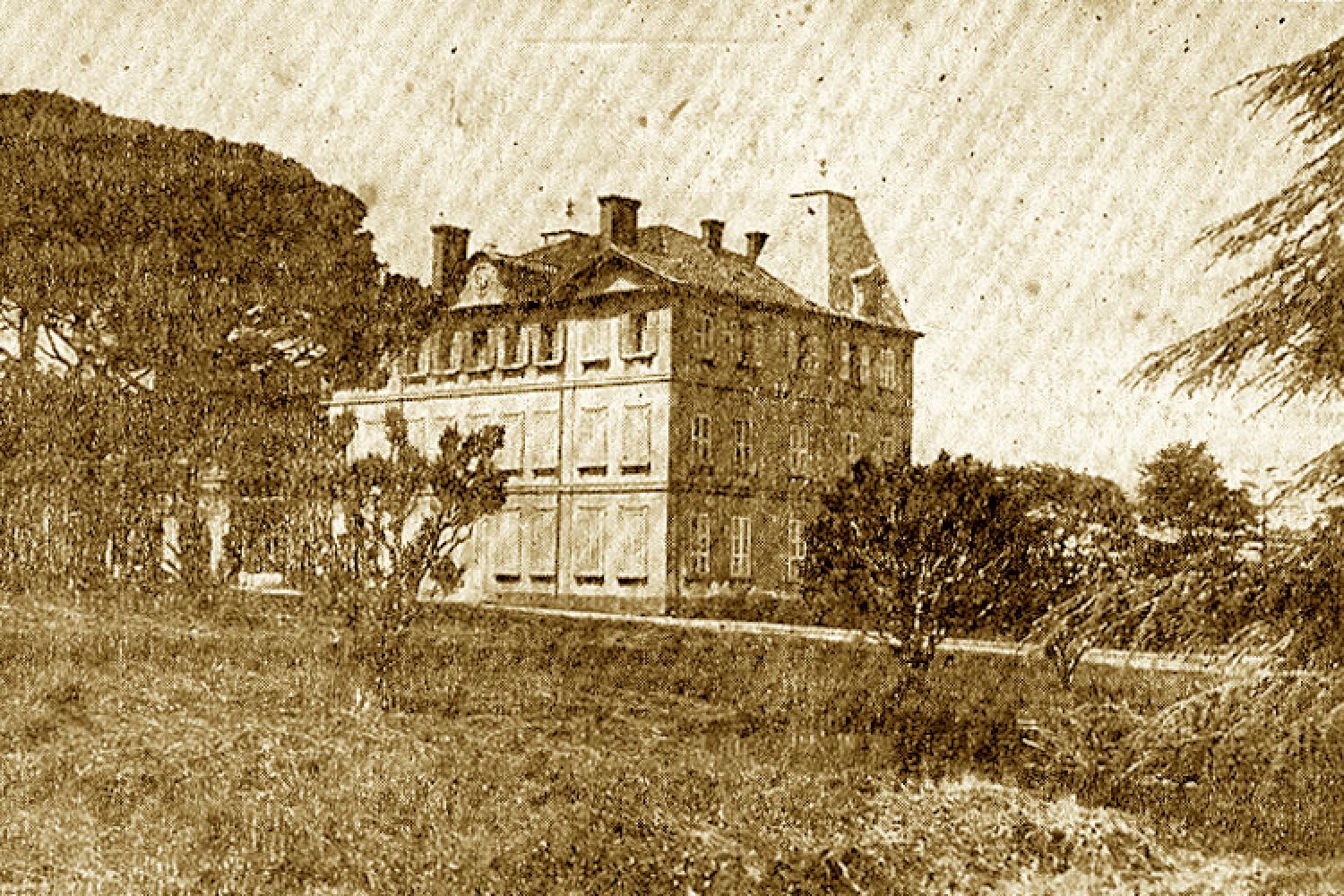
The northern foothills of Marseilleveyre and Saint-Cyr are a hybrid area between cliffs and suburbs. Once agricultural land and a royal retreat, modern garden cities are now being built in the middle of an exceptional natural landscape.
Getting here and regulations
The northern foothills of Marseilleveyre and Saint-Cyr ranges are in peripheral zones, whereas the natural area overlooking them is classified as part of the national park. They are open to visitors all year round, except when closed due to fire danger.
Before heading out to visit the Calanques National Park, make sure you are prepared and read about good conduct and regulations here.
Getting here
RTM bus:
- no.44, 45 or 23 to reach the western side of the Marseilleveyre range, near Roy d’Espagne and La Cayolle,
- no.22, 21j, 24 or B1 to reach the eastern side of the Marseilleveyre range, near Les Baumettes and La Rouvière,
- no.24, 46, 48, 16 or 17 to reach the north-western side of the Saint-Cyr range.
Getting to the Calanques National Park from Marseille
Localisation
GPS coordinates of L'Aigle mountain, above Roy d’Espagne: 43.234456, 5.393922
GPS coordinates of Mont Redon, south of La Rouvière: 43.242006, 5.431838