
Water in the garrigue
A titanic project
It crosses Provence over 84 kilometres for its main part and 160 kilometres if you count the diversion canals in Marseille. Built between 1839 and 1854 under the supervision of the engineer Franz Mayor de Montricher, it has been bringing water from the Durance River to a formerly arid area with serious hygiene problems since 1849, via the Palais Longchamp cistern.
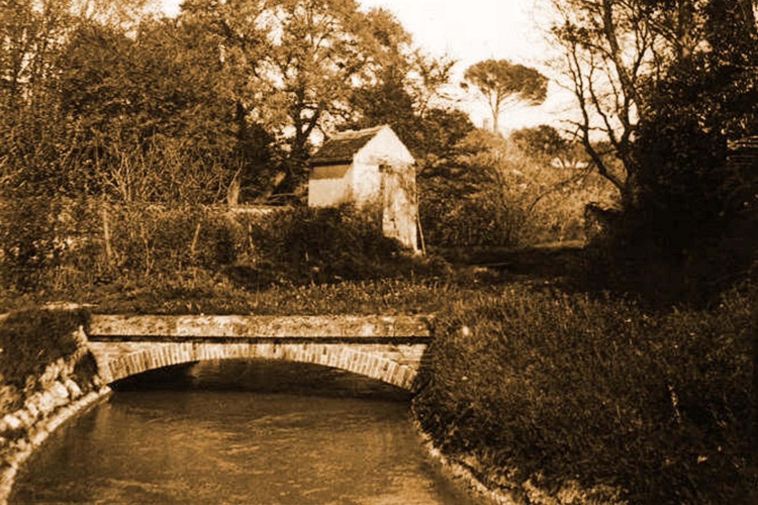
It took only 15 years to complete the project, which consisted of 18 bridges, including the Roquefavour aqueduct, and 17 kilometres of underground water supply. Until 1970, it was almost the only water supply for the city for street cleaning, crop watering, industry and consumption, and still provides two-thirds of it. Today it is supplemented by the Canal de Provence, which brings water from the Verdon.
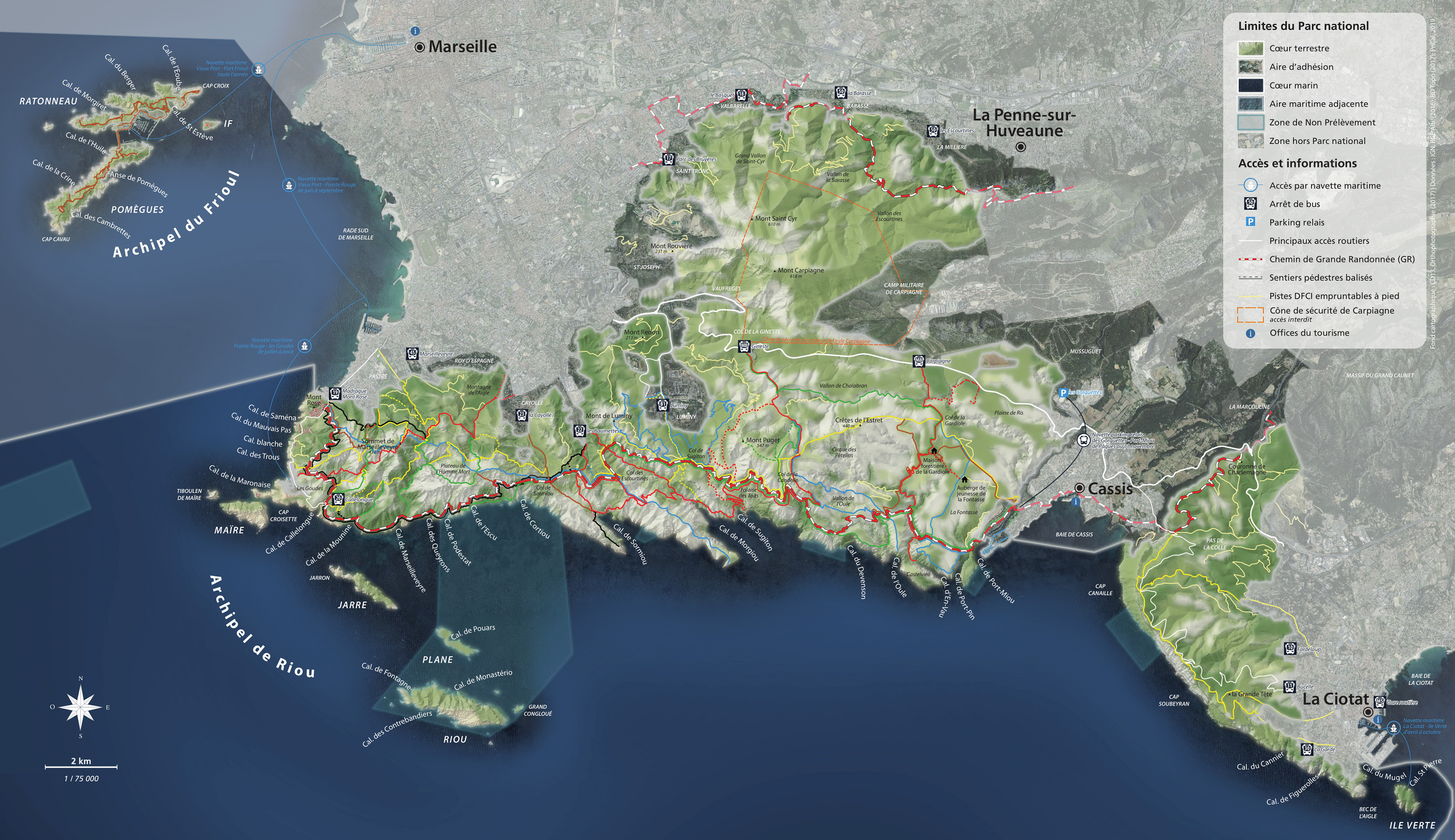
The canal in the Calanques National Park
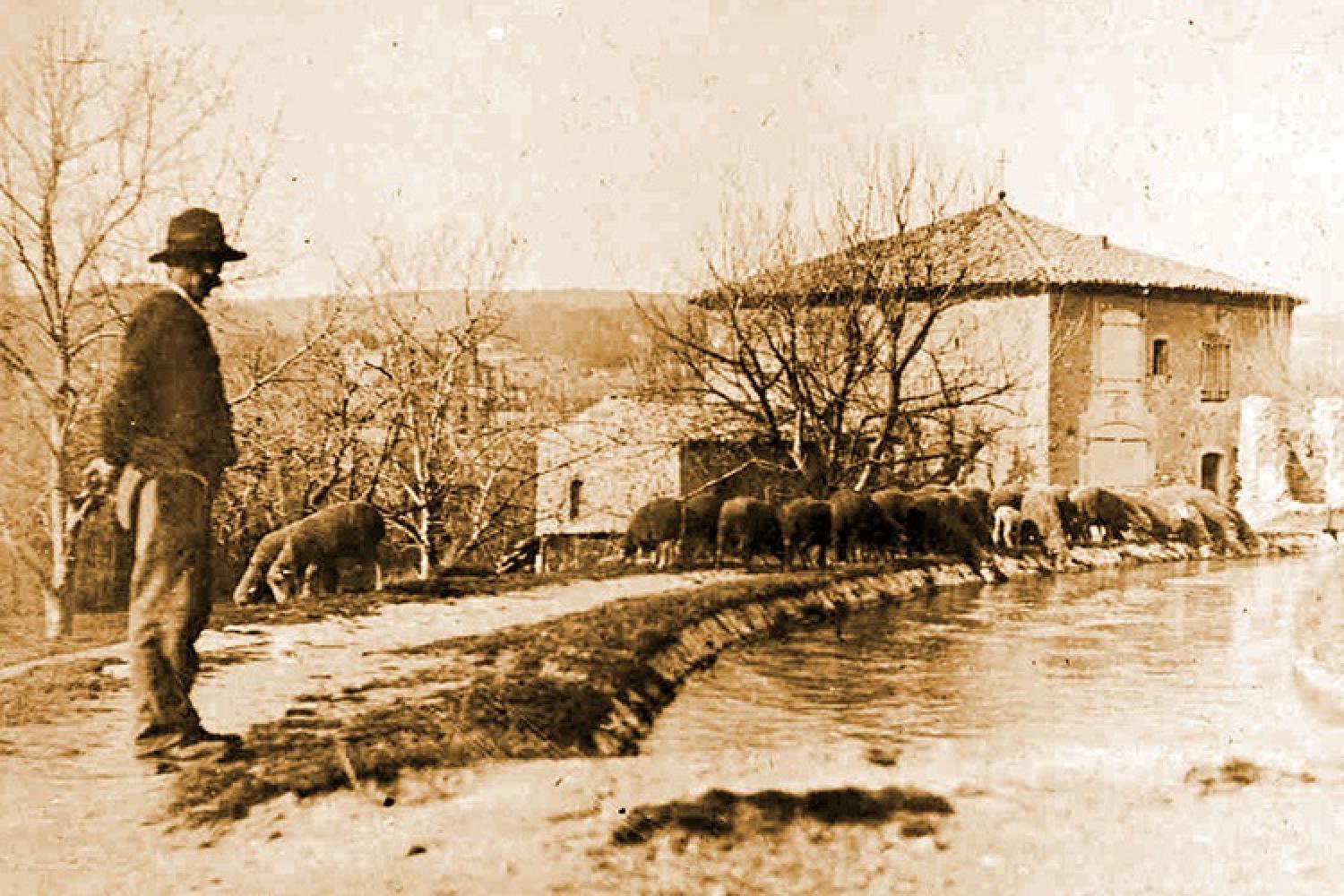
When it was developed throughout the city after 1849, it rapidly modified the Marseille landscape since it facilitated the watering of the fields and gardens of the bastides. It thus gave a considerable boost to agriculture in the Marseille area, as well as to the industries of the Calanques: Escalette, Legré-Mante, etc.
In its southern part, it now crosses the Huveaune valley, before branching off to the west and running through the Valbarelle, Saint-Tronc, Le Cabot, Le Redon, Mazargues, Le Roy d’Espagne, the Pastré countryside and Le Madrague de Montredon. It flows into the sea at Mont Rose, after supplying water to all the districts of the city of Marseille. On this route, it often serves as the northern boundary of the core zone of the National Park or the partnership zone. It often forms "gullies", or diversion channels, narrower than the main channel, as can be seen, for example, to the north of Marseille.
The canal in literature
Marcel Pagnol dedicated his finest writing to the canal in the second volume of his childhood memories: Le Château de ma Mère. But as early as 1837, when the canal was not yet built, Stendhal described the importance of this issue:
"From the Rhône to the Var one only sees arid mounds, covered in wild thyme: this is Provence; in the low points which separate these mounds and where there is a little moisture, when it rains, one finds some cultivation. All the rest is burnt by the sun. If you ask for a little water at someone's house, they will give you wine; the water has to be fetched from leagues away and is used at mealtimes only: at the moment there is none.
Really Provence should do everything in the world to divert half the Durance or a branch of the Rhone, and throw this water into the port of Marseilles; if this project, which is undoubtedly practicable, is carried out, it will give life to a million men nourished by the plants that would be born from the alliance of water and heat. Marseille, in particular, should do everything it can to bring a river into its port, which, sooner or later, will give it Yellow Fever and perhaps Cholera."
I held my breath… It was the canal of my childhood, with its hawthorns, its clematis, its sweet briar full of white flowers...
Marcel Pagnol
Visiting and regulations
Before coming to the Calanques National Park, plan your visit and read the best practices to adopt and the rules to be followed.
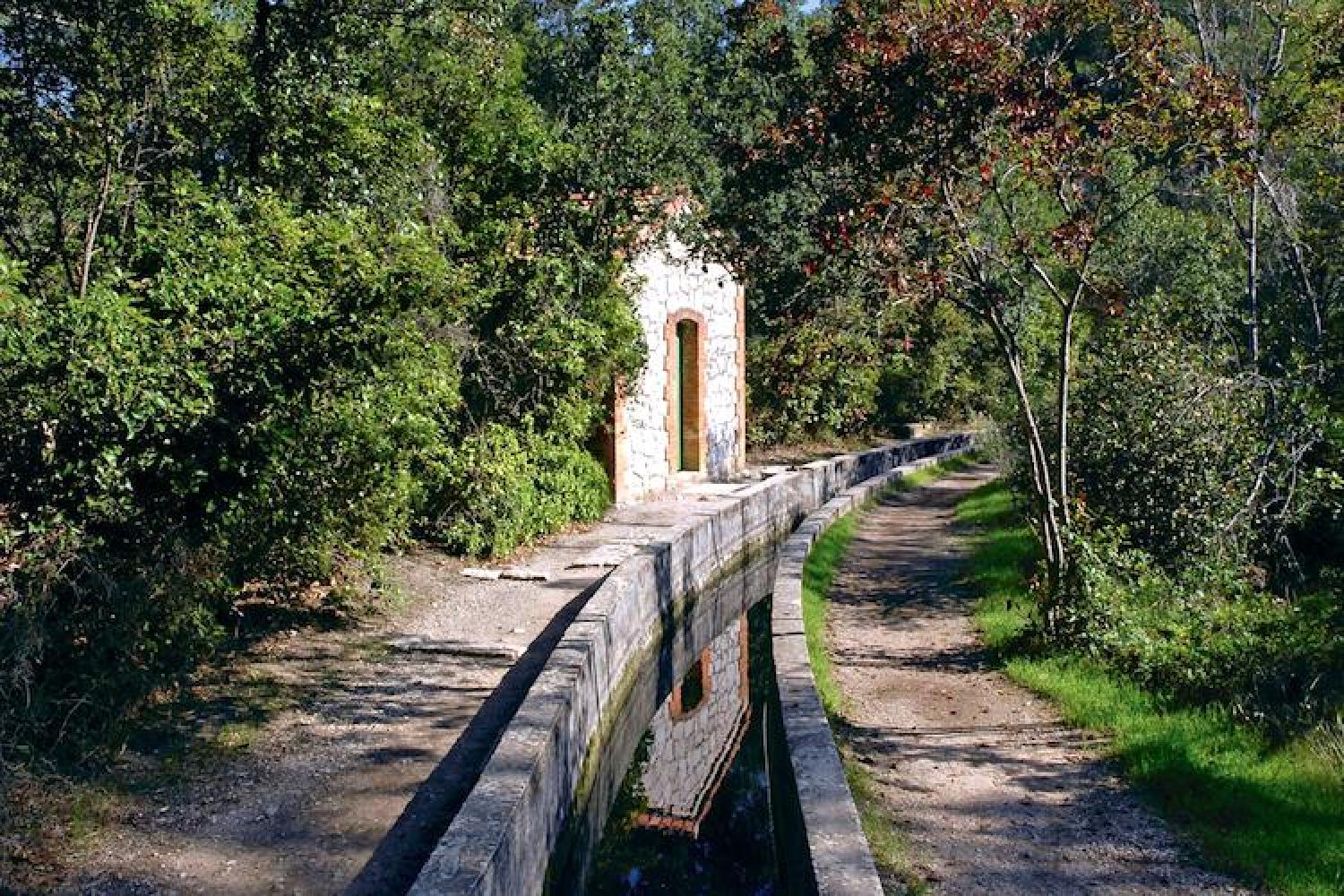
On the National Park side, the Canal de Marseille runs through the foothills of the Marseilleveyre and Saint-Cyr ranges, but its approaches are often secured by fences and forbidden to access. The best place to discover it and walk along its banks is in the Pastré countryside, where it forms the boundary of the heart of the National Park.
Access
Via Campagne Pastré, bus RTM n°19 - direction Madrague de Montredon, bus stop: Montredon Pastré.
Location
GPS coordinates: 43.235474, 5.374747
 Video
Video Links
Links