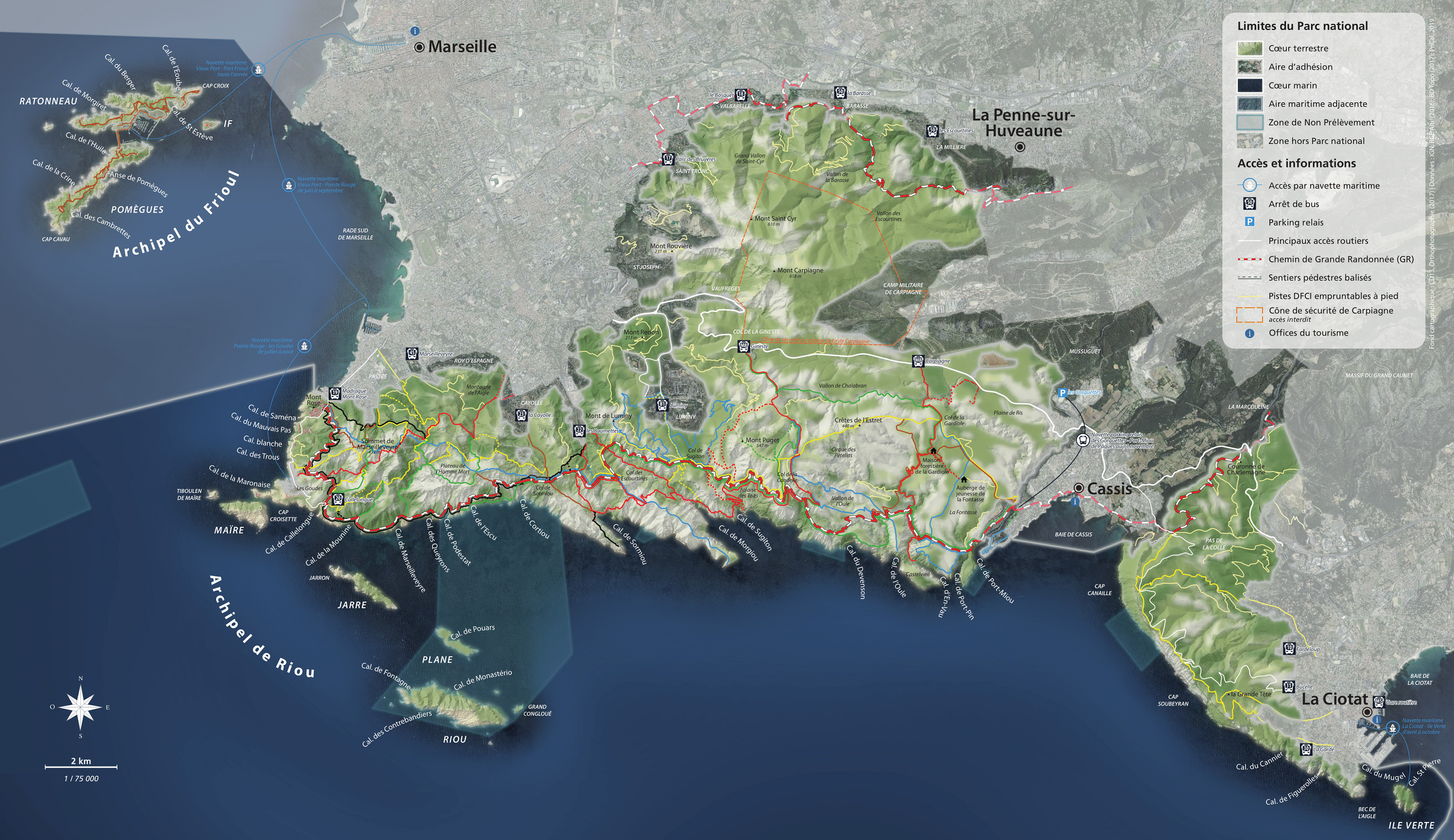

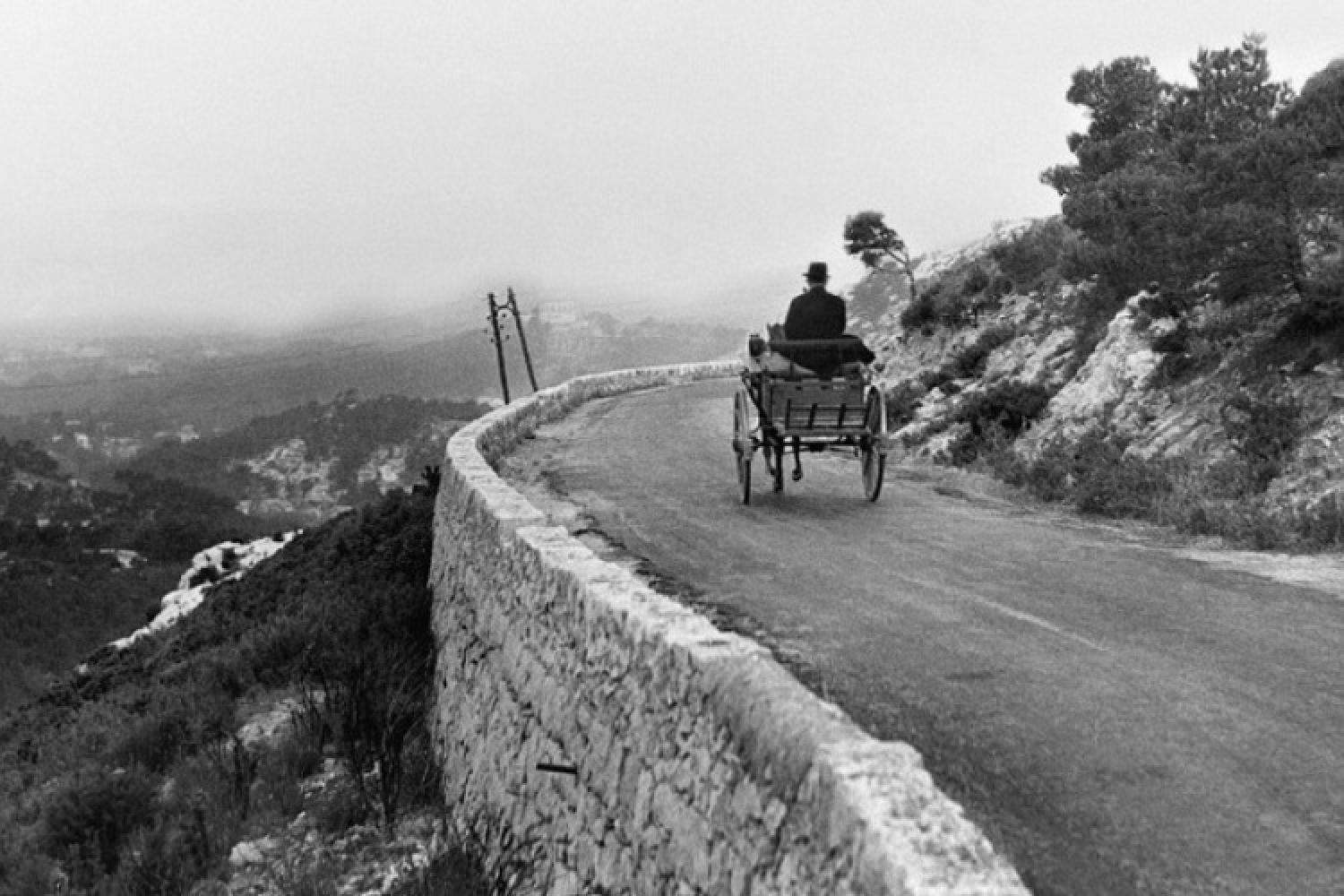
Between Mont Carpiagne and the Calanques ranges

Getting here and regulations
Before heading out to visit the Calanques National Park, make sure you are prepared and read about good conduct and regulations here.
The area is open all year round, except when closed due to fire danger.
The Route de la Gardiole is permanently closed to motorised vehicles.
Acess to the southern slopes of the Saint-Cyr ranges, which are part of Carpiagne military camp, is forbidden. The zone covers the Nerte et La Louve valleys to the west, the Eaux-Vives springs to the north, Carpiagne camp to the west, and La Gineste to the south. To the south, a zone classified as dangerous with a shooting range, is also closed to the public (see the map). As a result, it is forbidden to climb Monts Lantin, Saint-Cyr, and Carpiagne.
The Muraille de Chine and Toulouse valley are subject to special regulations.
Getting here
From Marseille: bus M08 – La Gineste or Carpiagne Gineste stops
From Cassis: walk for around one hour from the city centre via Le Pas des Marmots to reach La Gardiole.
Localisation
GPS Coordinates: 43.240100, 5.457172