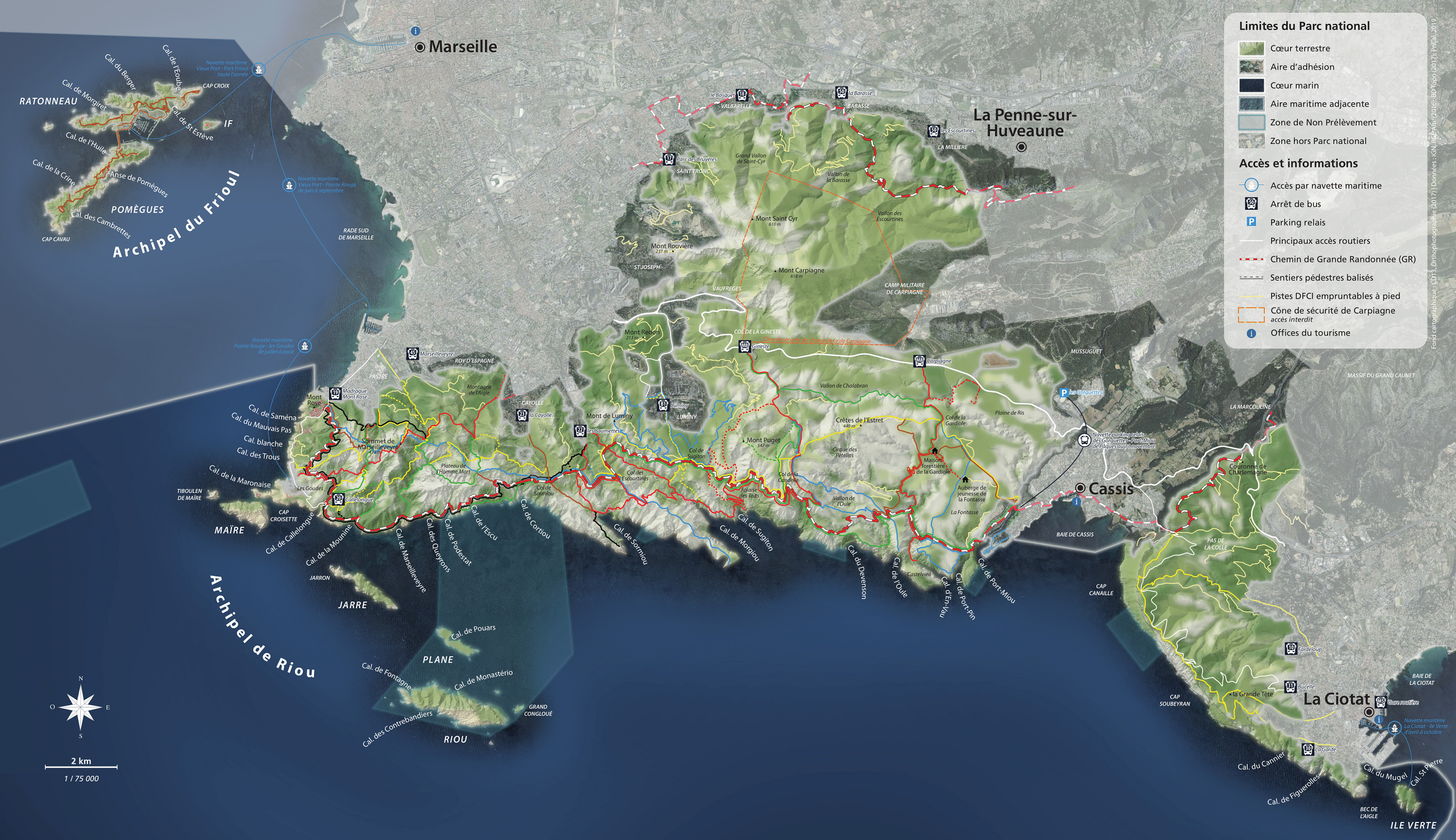

On the edge of the Calanques National Park
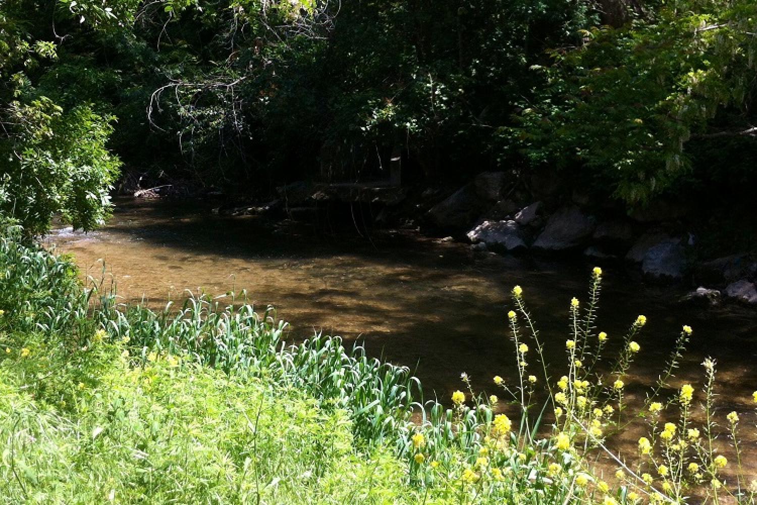
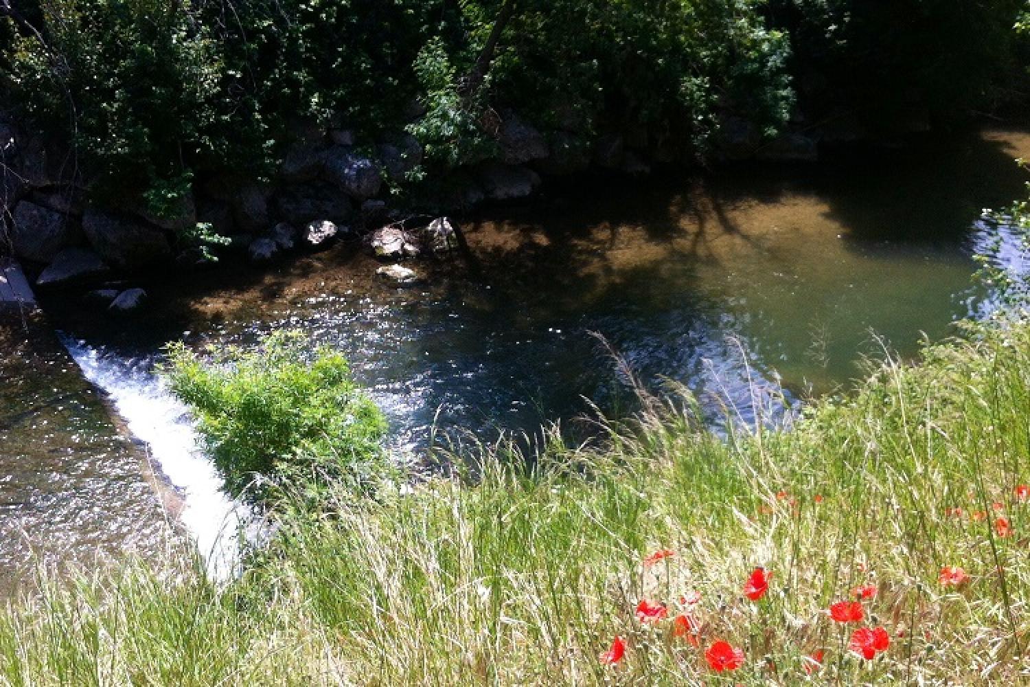
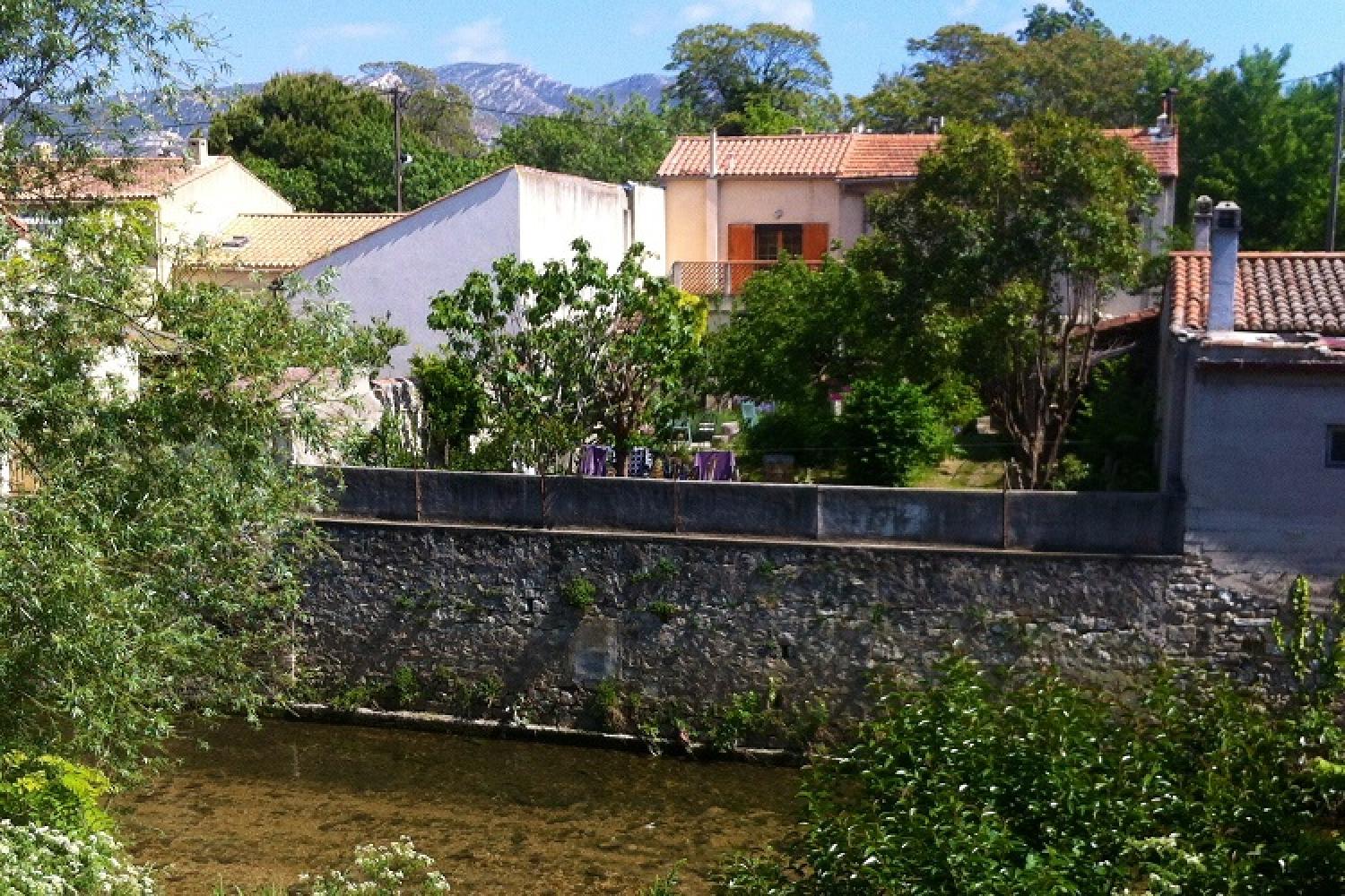
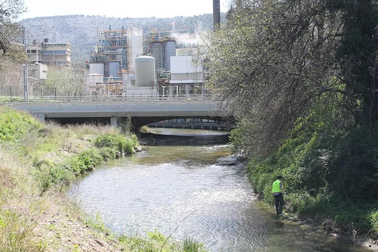
Bathing the northern slope of the Saint-Cyr range, Huveaune rivers runs along the national park before flowing into the Mediterranean. This coastal river with rich history has suffered unfortunate events over time. This green space in the centre of the city is now undergoing a renaissance.
Getting here and regulations
Only the upper side of the southern bank of Huveaune valley in the Saint-Cyr range is part of the national park.
Before heading out to visit the area, make sure you are prepared and read about good conduct and regulations here.
Getting here
RTM bus no.15, 16, 17, 18, 40 and 50.
Localisation
GPS coordinates: 43.28675, 5.487435