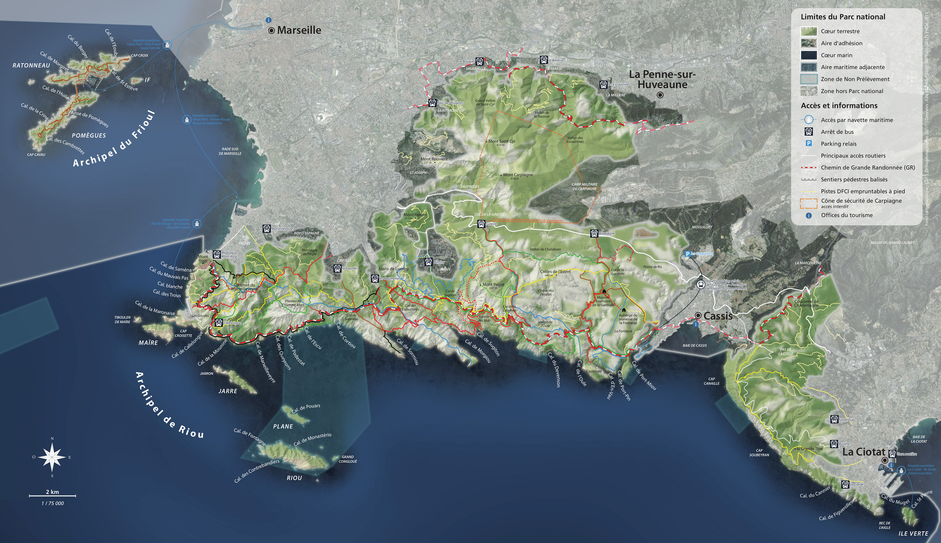

Lunar landscapes surrounded by forests
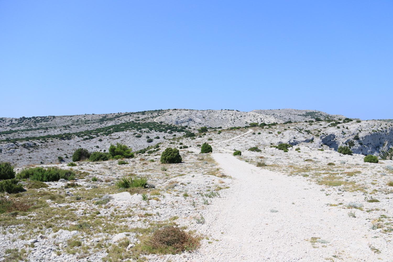
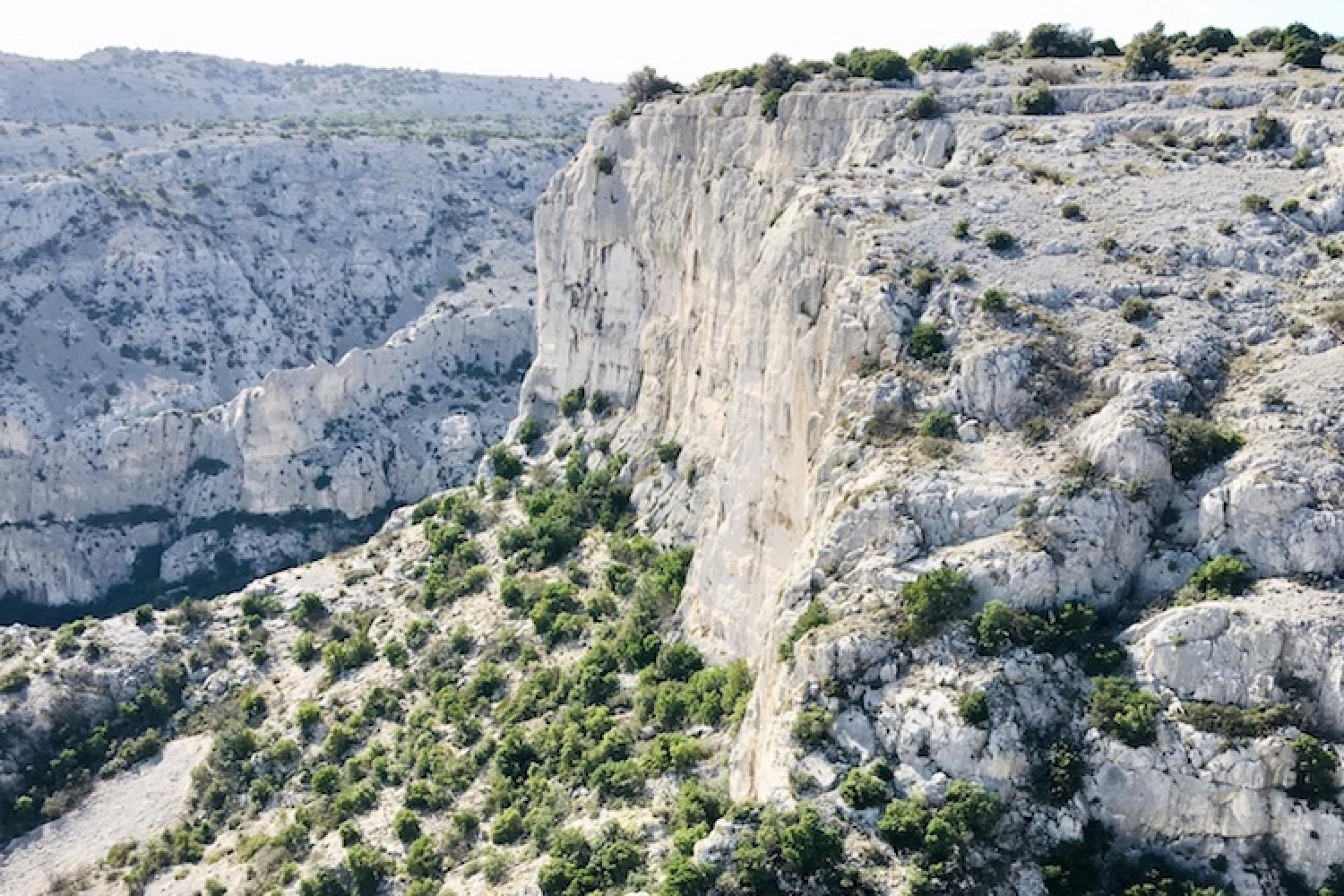
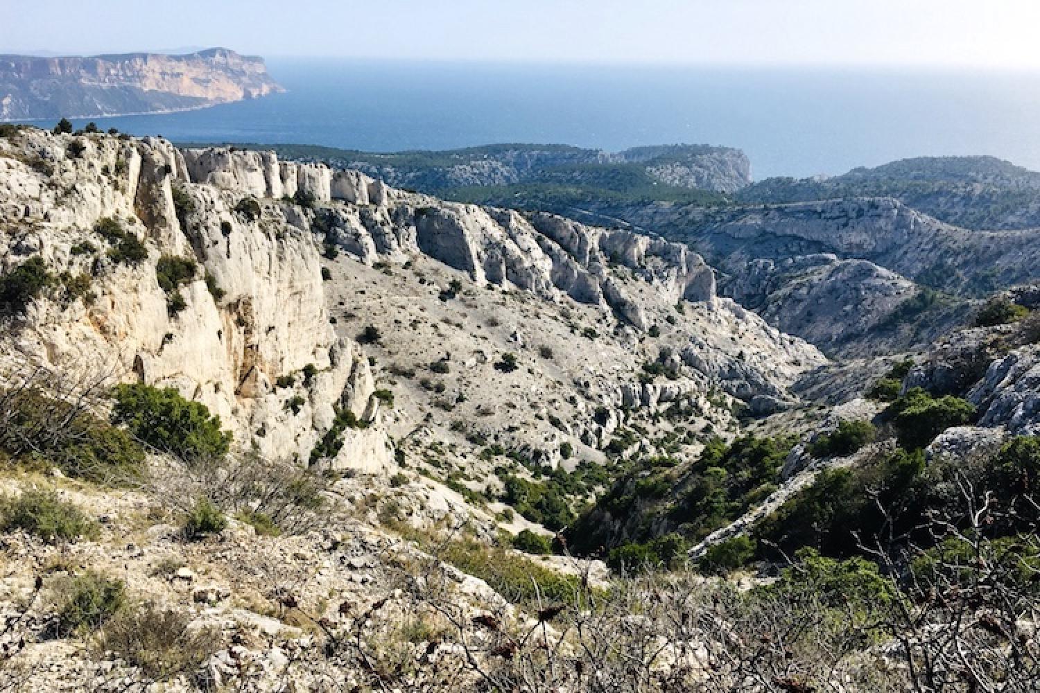
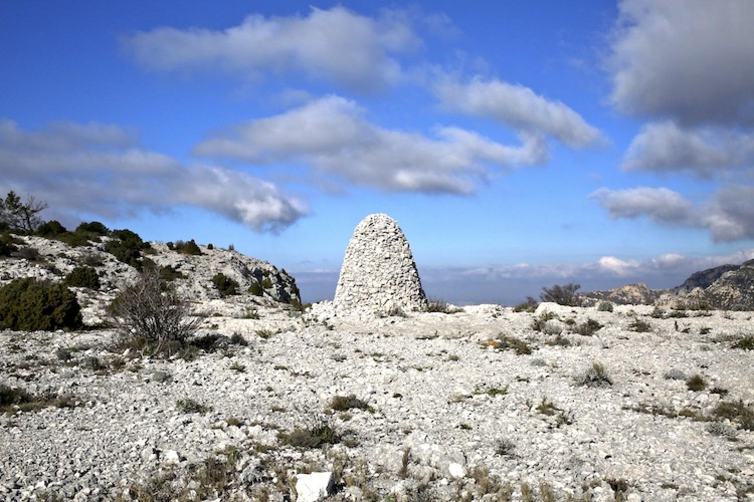
Estret ridge follows a wide track between Mont Puget and La Gardiole pass. For three kilometres, this route crosses very contrasting landscapes on both sides, especially the green valley of Chalabran.
Getting here and regulations
Before heading out to visit the Calanques National Park, make sure you are prepared and read about good conduct and regulations here.
Estret ridge is open to visitors all year round, except when closed due to fire danger.
It takes about one hour to walk from one end of Estret ridge to the other.
Getting here
From Marseille:
RTM Bus B1 or 521 in the evening – direction Campus de Luminy, HLM de Luminy stop then walk for about 90 minutes through the valley and via Ricard pass to reach Estret ridge from the west.
Bus M08:
- La Gineste stop then walk for about 45 minutes via Ricard pass to reach Estret ridge from the west.
- Carpiagne Gineste stop then walk for about uis 30 minutes via La Gardiole pass to reach Estret ridge from the east.
From Cassis: walk for about one hour from the town centre via Le pas des Marmots to reach Estret ridge from the east.
Getting to the Calanques National Park from Cassis
Localisation
GPS coordinates: 43.2240008, 5.473522