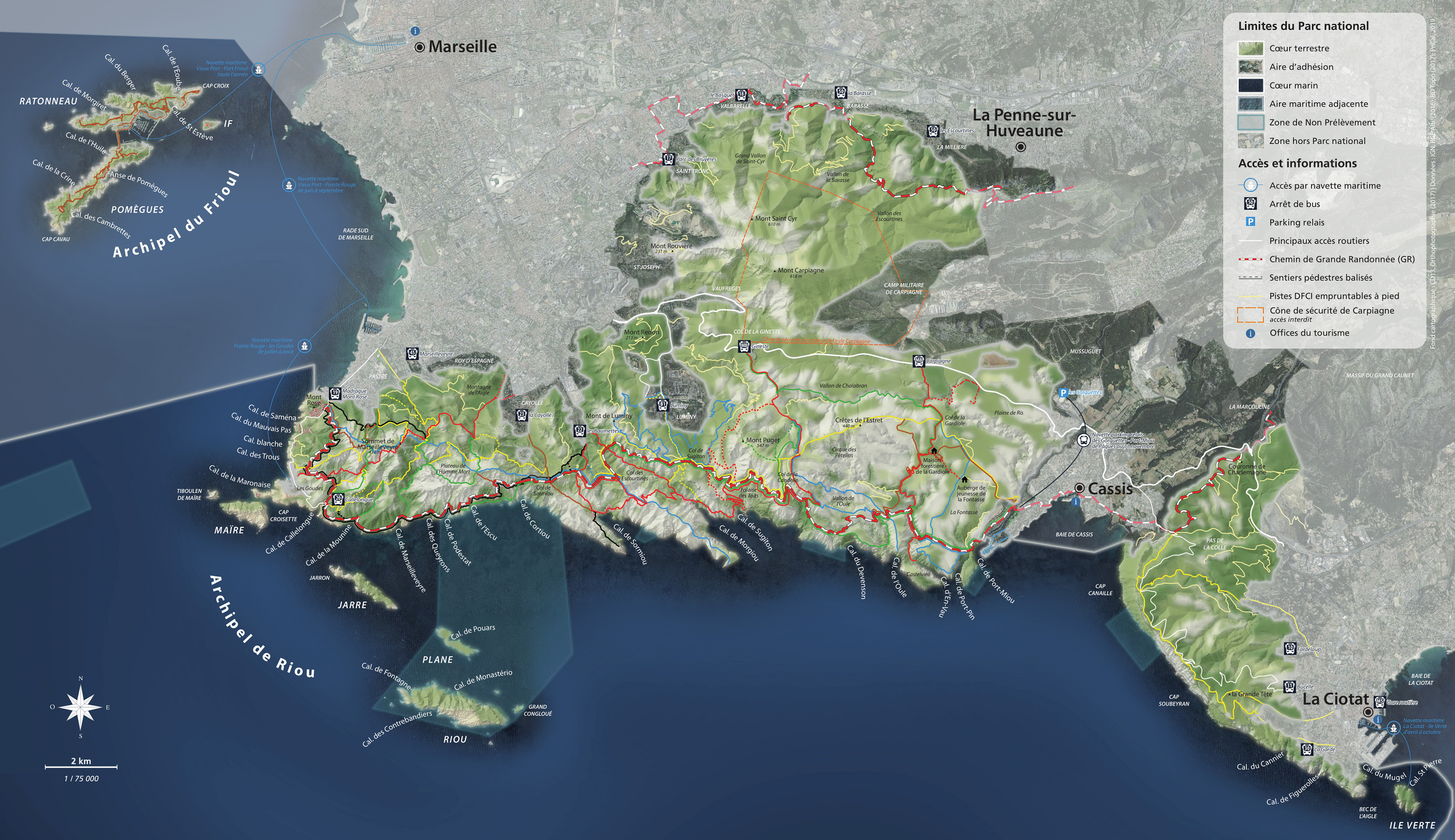

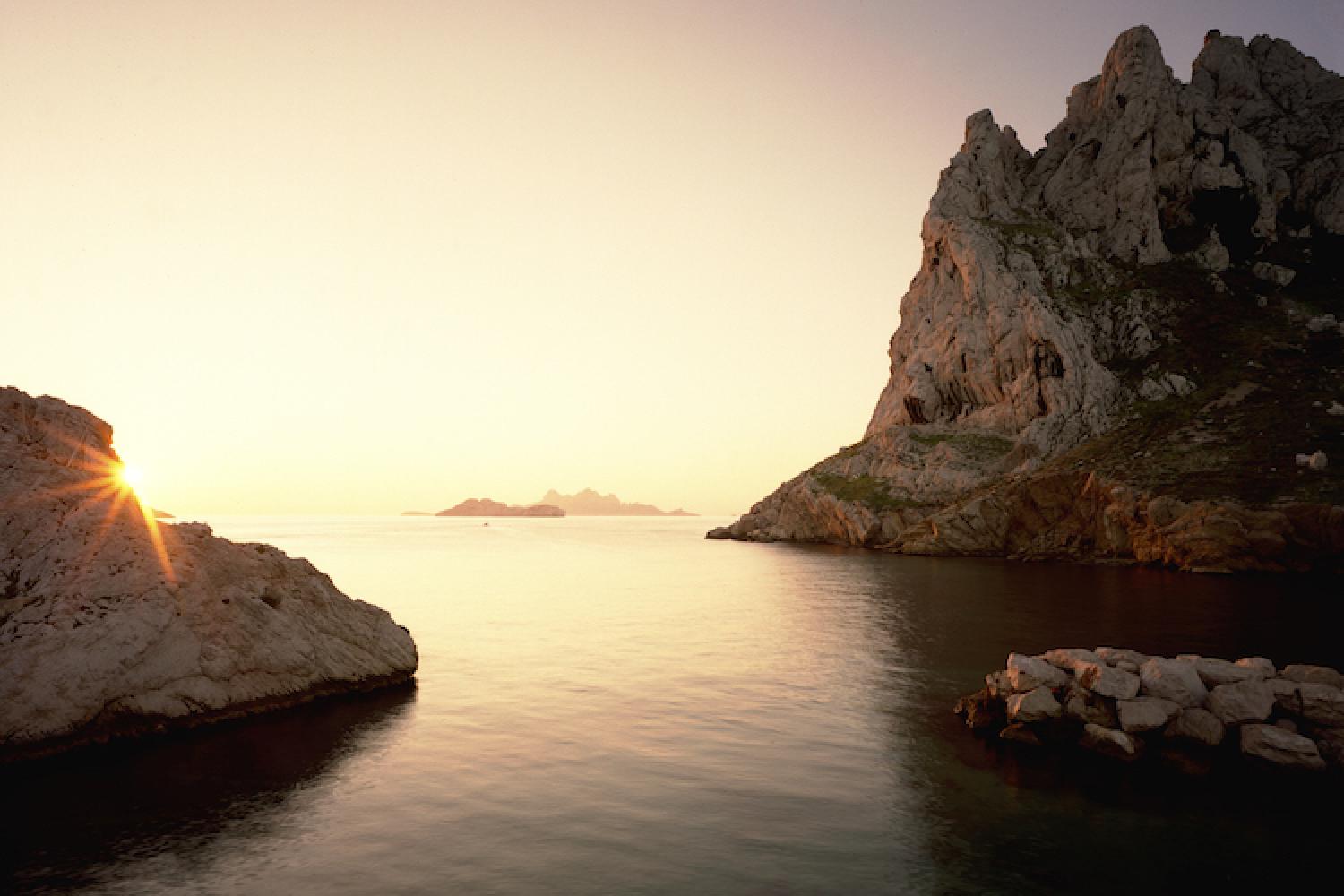
Where the land and sea meet
Getting here and regulations
Before heading out into the Calanques National Park, make sure you prepare your visit and read more about good conduct and regulations here.
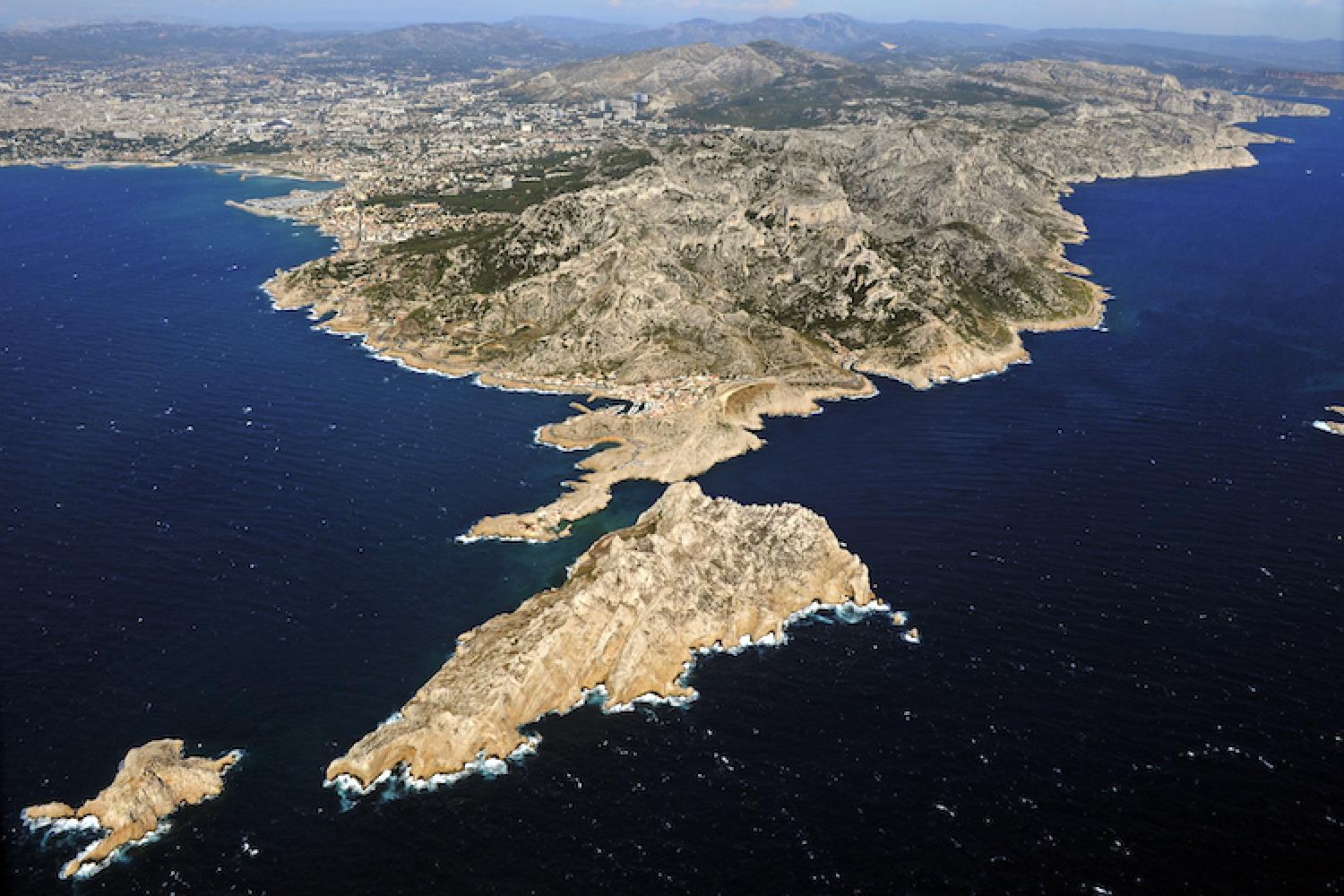
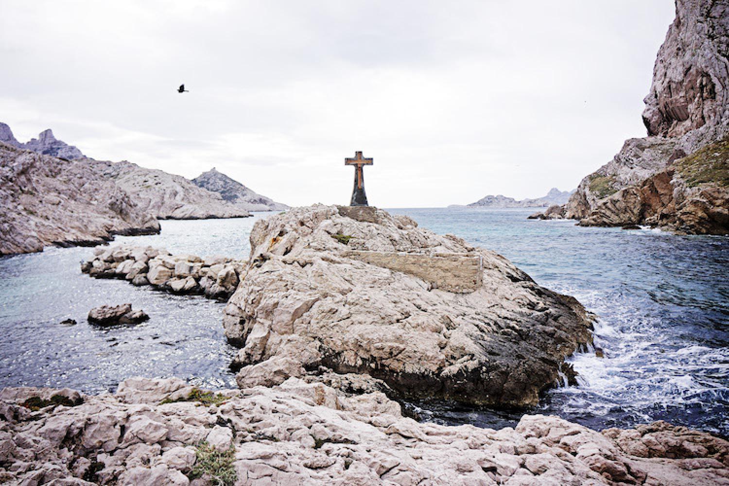
The road to Cap Croisette is permanently closed to motorised vehicles.
The hamlet is open to visitors all year round. The surrounding hills are also open to visitors except when closed for fire danger.
Only swim from the rocks when the sea is calm and be very careful. Due to strong currents, we strongly recommend against swimming and boating in the Croisettes passage between the mainland and Maïre island. Access to Maïre island is strictly forbidden.
Getting here
RTM bus no.19 – direction Madrague de Montredon to the terminus, then 20 – direction Callelongue, Les Goudes stop, then walk to the end of Rue Désiré Pelaprat.
In peak season, RTM sea shuttles also operate between the Goudes Vieux-Port via La Pointe Rouge.
The coastal road south of Marseille is often congested, with traffic jams at peak hours and on the weekend, particularly during summer, and sometimes as far as La Pointe Rouge. Avoid driving during peak hours and take public transport and cycle when possible.
Localisation
GPS coordinates: 43.214330, 5.337457