
The Calanques: mountains by the sea
What are the Calanques?
The Provençal word "calanques" means coves bordered by steep slopes. It is a fusion of two words.
The old Provençal word calo means "small rocky cove": it comes from a very old Mediterranean root (kal) which meant coves, both in Corsica and the Balearics. This root goes back to the Ligurian era and was used in Provence to describe various rocky places: from this root we get the words calade (a gravel road) and caler (immobilise or wedge, originally with the help of a stone).
The suffix anca, also Ligurian in origin, means a steep slope: it is found notably in the Alpine word avalanche.
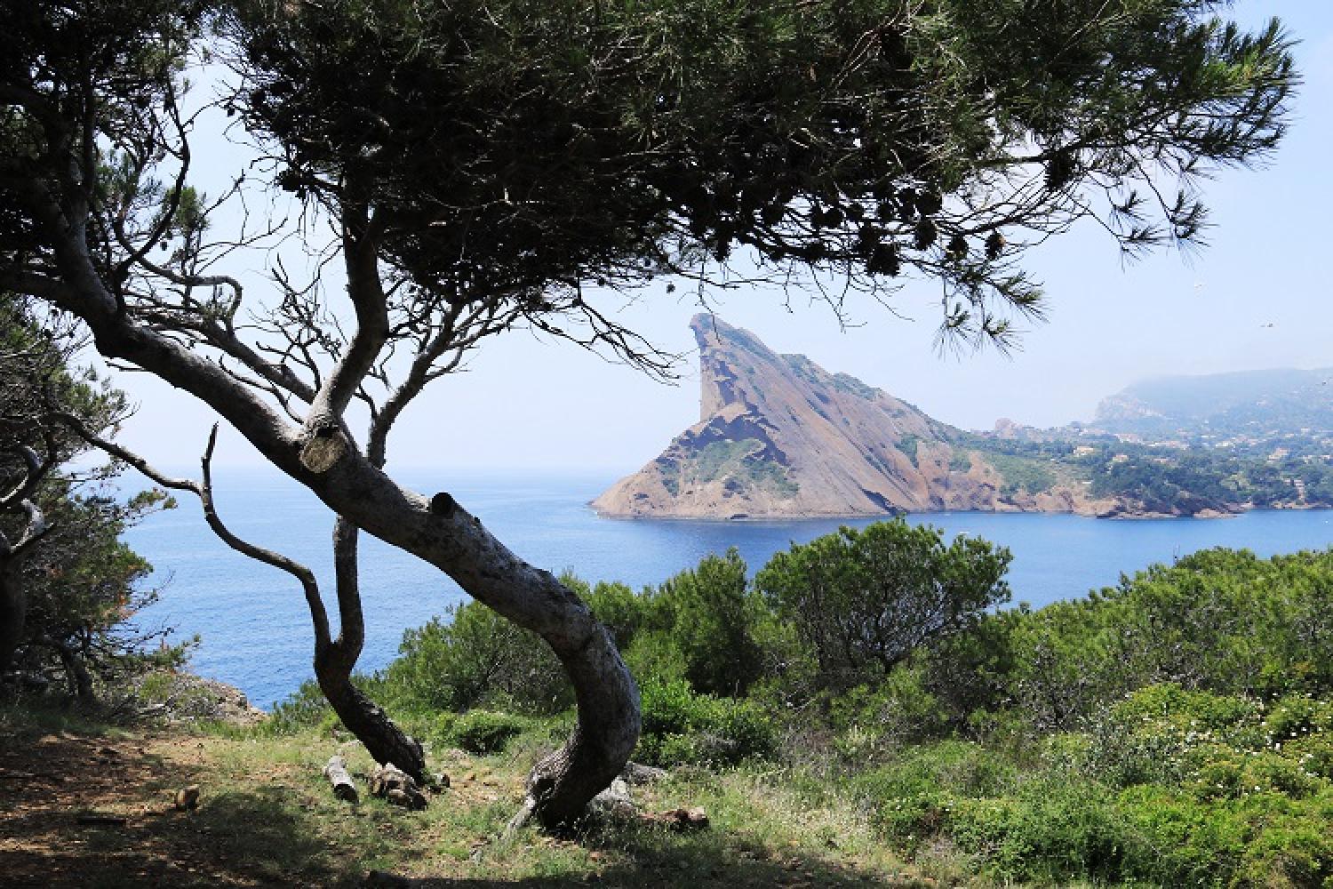
An original dialogue between the land and the sea
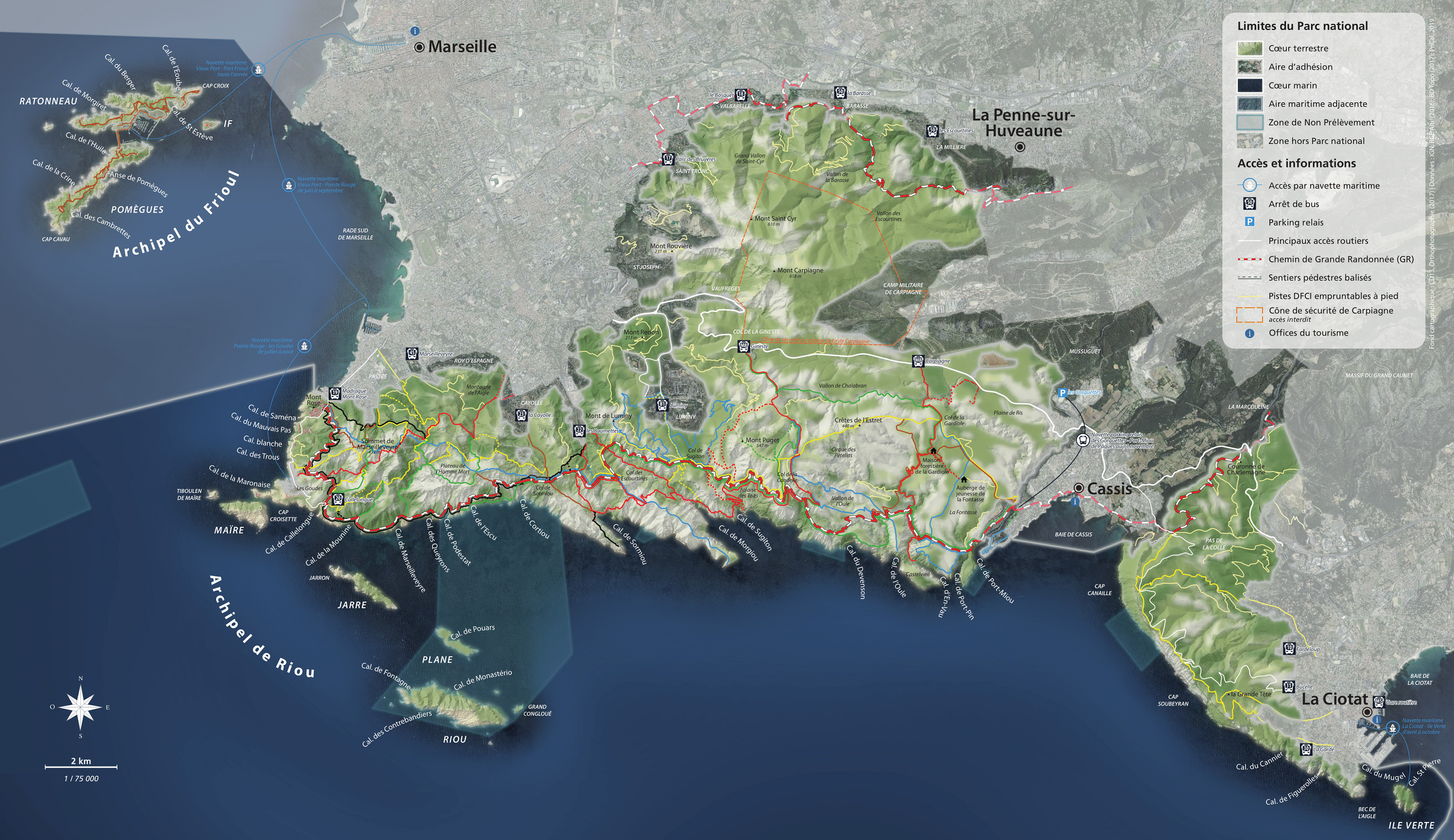
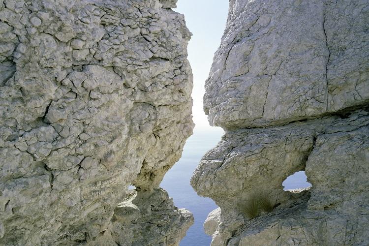
The Calanques National Park is schematically made up of three mountain ranges, surrounded by towns, valleys and plains and the Mediterranean Sea, from which emerges an island chain.
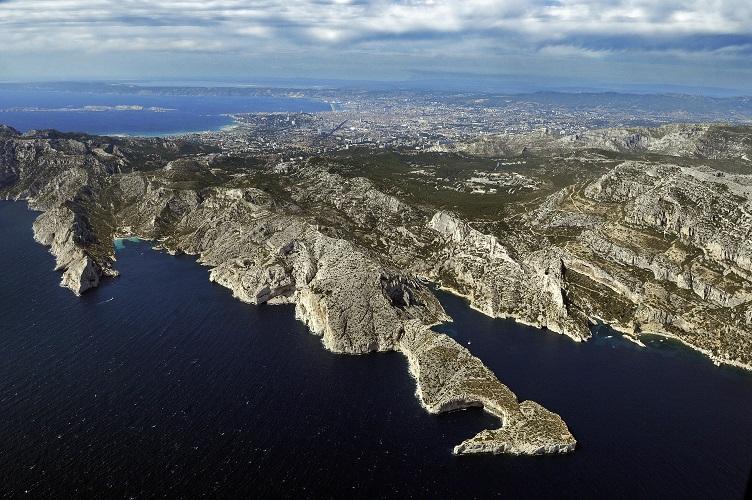
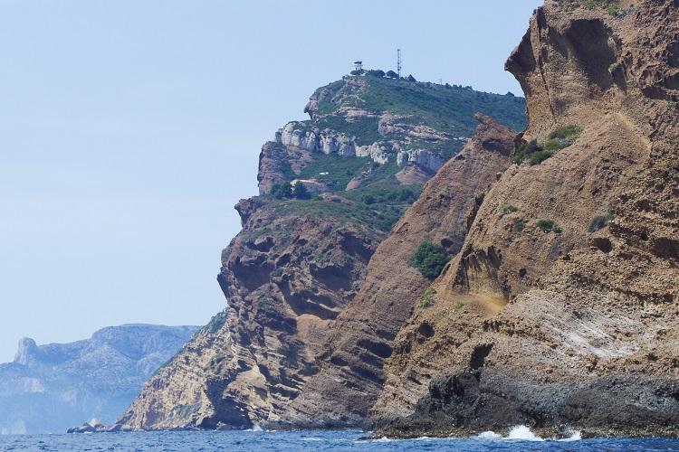
Firstly, the Calanques massif forms a mass of white limestone of the urgonian type, which is very compact, hard and shell-like, meaning it is rich in fossils. Secondly, the Saint-Cyr range, with a narrow pass from Luminy to Sugiton, is made up of dolomitic plus sandy limestone.
After reaching the summits of Marseilleveyre, Mont Puget or Mont Carpiagne, these two massifs peter out at Cassis.
Once past the Cassis coastal plain, the land rises again: this is the third massif, Cap Canaille massif, which extends as far as the Calanques de La Ciotat and Ile Verte, the eastern edge of the National Park. Of different geological nature, its dominant red-ochre contrasts with the bright white of the Calanques de Marseille. It is made up of limestone, sandstone and "poudingue", a rock composed of pebble debris conglomerate. This word comes from the English word pudding, which itself comes from the French word boudin (meaning "black pudding").
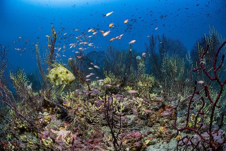
The Calanques are also several thousand hectares of marine areas, where the cliffs extend below the surface of the water, and where the Cassidaigne underwater canyon runs. In places, it descends to more than 1,500 metres deep.
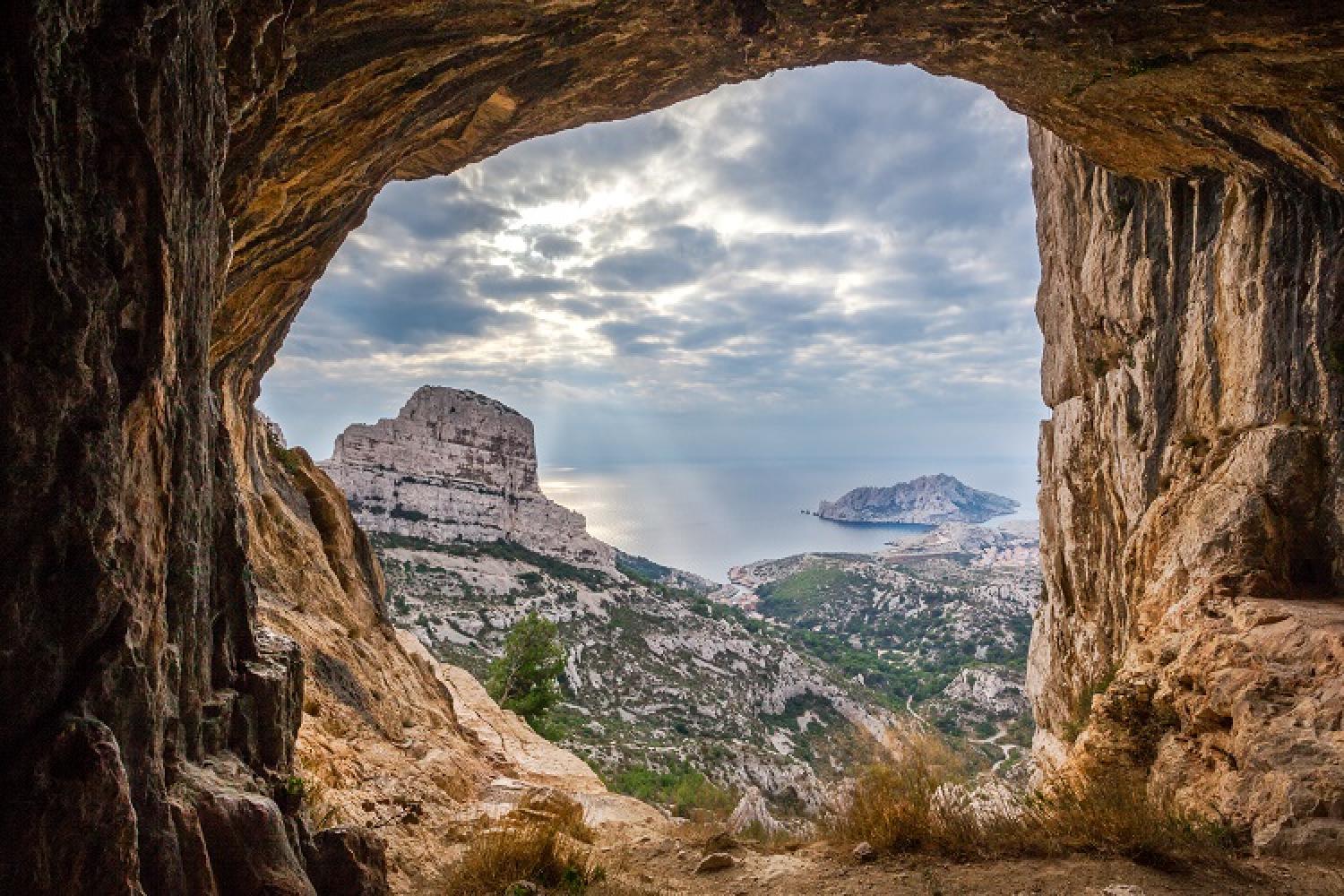
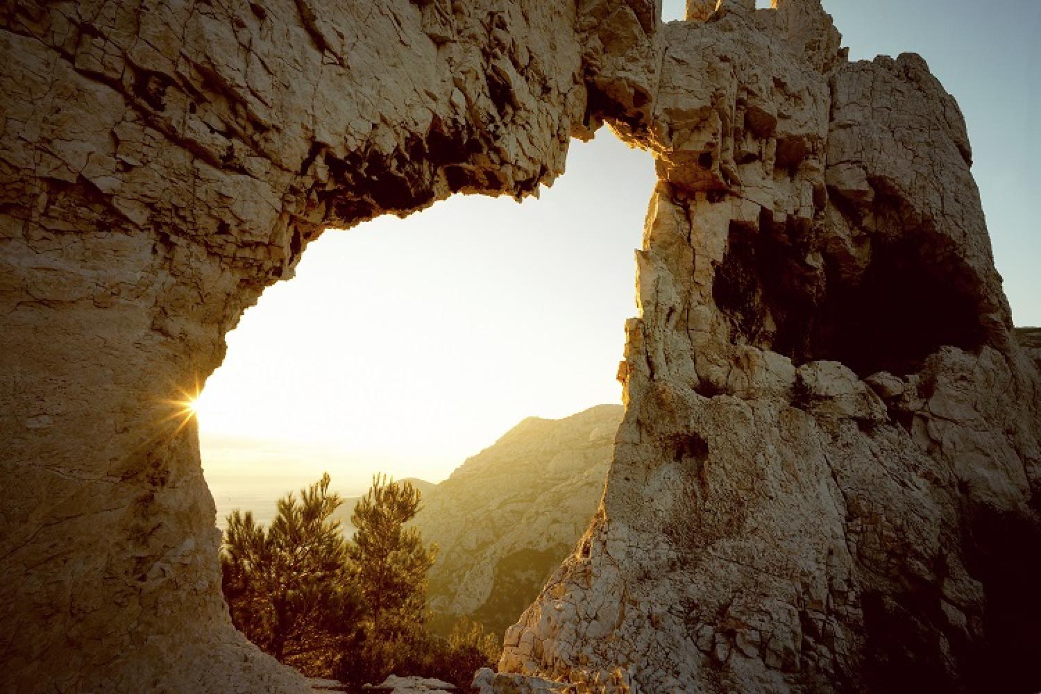
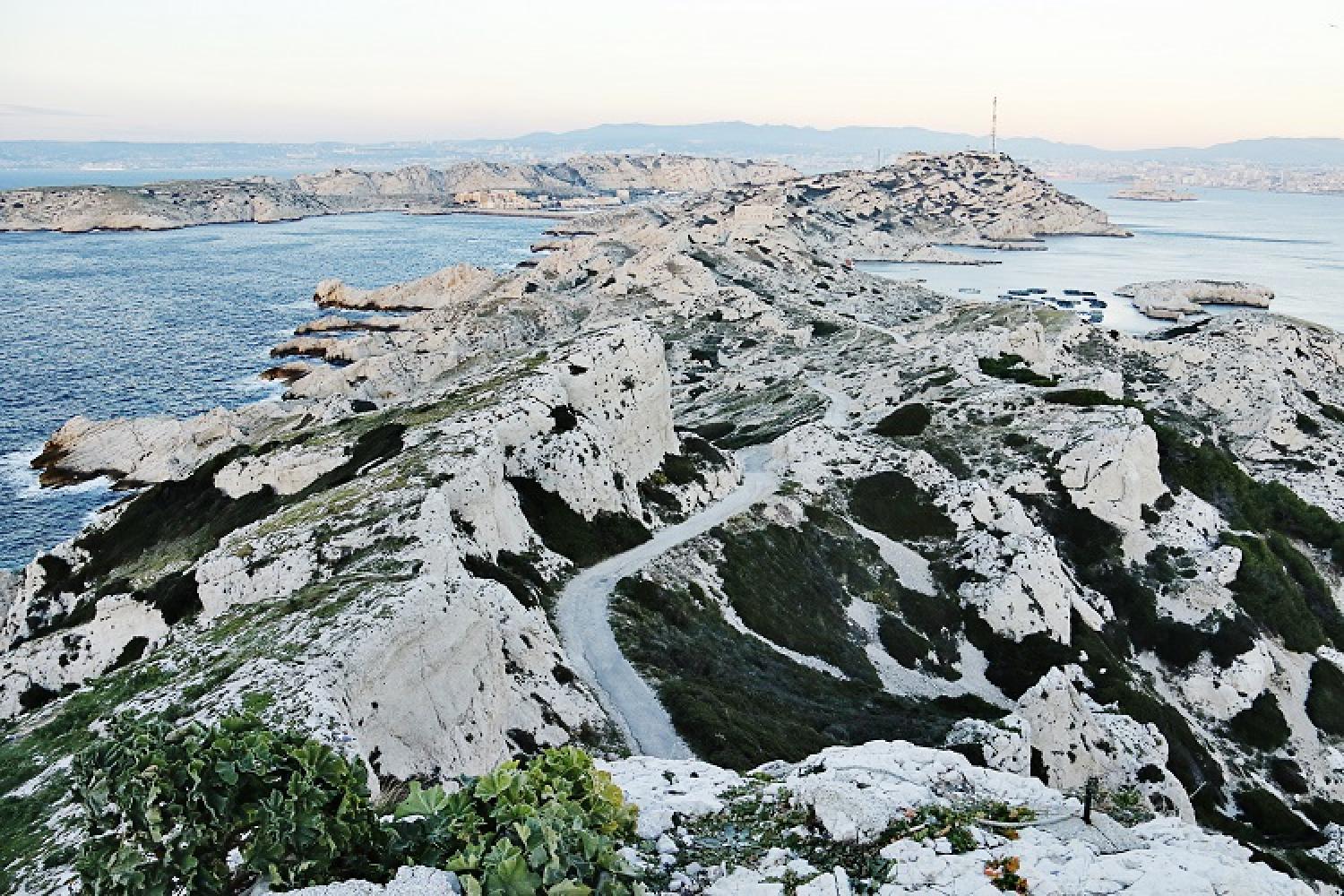
The Calanques, a real garden of stones on the edge of the sea.
How were the Calanques formed?
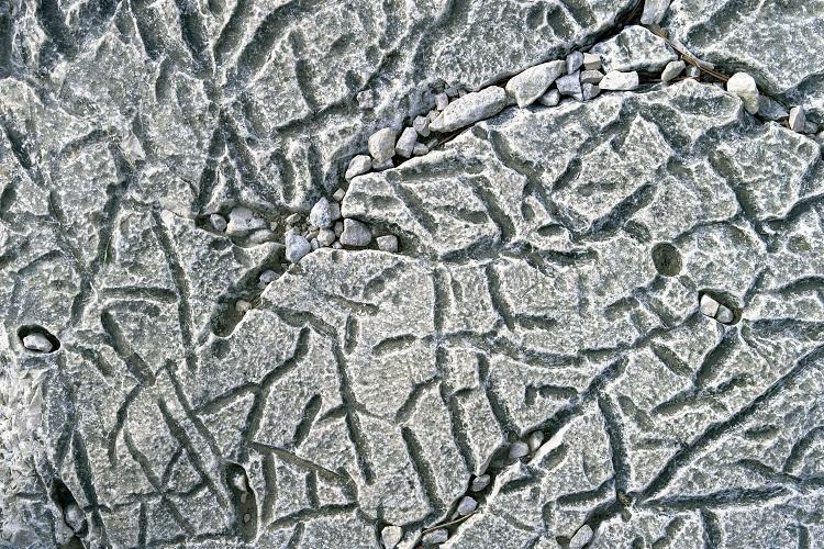
The limestone rocks of the National Park were originally made of sediment. This was 80 million years ago, during the Mesozoic, Jurassic and Cretaceous periods: in others words, during the time of the dinosaurs. Fragments of skeletons and shells of marine micro-organisms underwent chemical transformations. These fine minerals of coral origin were carried by a river that flowed from the south to the north, and they patiently accumulated over several hundred metres at the bottom of a tropical sea…
Plate tectonics
During the Tertiary era, 60 million years ago, the African and European plates overlapped and these rocks thus emerged. This is how the Pyrenean-Provençal chain, which includes the Pyrenees, Corsica and Sardinia, was formed. Then this massif eroded, fractured and gradually became deformed.
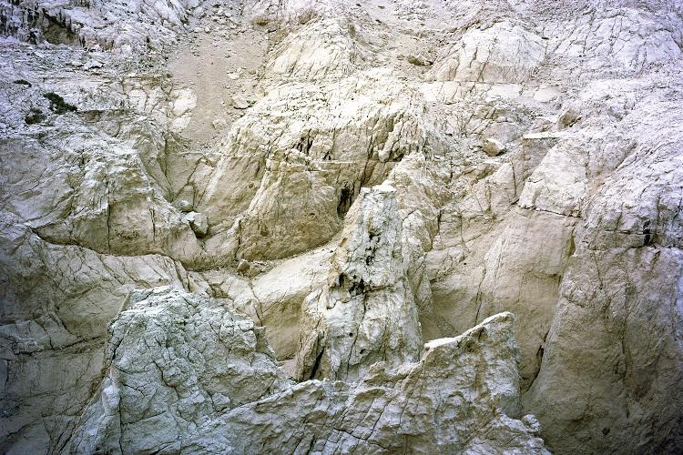
Glaciation, warming, erosion
Warm periods facilitate the creation of a karstic network. The dissolving action of the runoff and infiltration of the water sculpts the landscape, leading to the formation of caves, avens and underground rivers.
The substance of water becomes memory: it takes and assimilates some trace of all that it has brushed against, bathed, rolled: of the limestone it has eroded, the deposits it has washed, the rich sands it has filtered. Whether or not it gushes above ground, it is full of the primitive power of the rocks it flows over. It carries with it bits of atoms, elements of pure energy, bubbles of subterranean gas, and sometimes the intimate heat of the earth.
Paul Valéry
The ice ages of the Quaternary period, 1.8 million years ago, caused the sea level to drop to an average of -130 metres.
The erosion of the limestone massifs on the coast was thus accelerated: deep, narrow valleys were formed, as well as vertical faults that cut through the massifs. The sea level rose again, and the downstream part of the ravines were submerged; it is these ravines that became our Calanques.
From the high forests to the mountain peaks
The arid, eroded landscapes of the Calanques National Park today are due to the conjunction of two phenomena, one natural, linked to climate change; the other human, connected in particular with overgrazing.
During Prehistoric times, between -30 000 and -19 000 BCE, there was an Oceanic climate that was humid and cold. The glaciers went as far as Sisteron, and the forests were populated with large game, as can be seen in the paintings and engravings in the Grotte Cosquer. The soil was very thick at this time, composed of earth and humus.
During Antiquity, the glaciers receded, replaced by the arrival of the Mediterranean climate. Human beings multiplied and expanded, cultivating the land, burning wood and raising livestock, which grazed. Over the centuries, overexploitation and the Industrial Revolution accelerated this process, leading to a strong need for animals (for wool, skins and food) and wood (for heating and for construction, for paper-making and spinning).
At the same time, the alternate freezing and thawing was interrupted: but the freezing allowed the rock to fracture until it became earth. As vegetation became more scarce, humus did not form again and the soil was not reconstituted. The soil therefore eroded, becoming skeletal. The earth, still present at the bottom of the valley, was then absent on the surface, except for a few patches on the rock, in places where the pines held it back.
Did you know?
Before it was created on 18th April 2012, the Calanques National Park already had six listed sites:
- from 29th November 1934 for the La Gardiole State Forest,
- from 31 July 1936 for the Calanques d’En-Vau and de Port-Pin,
- from 29 August 1975 for the Massif des Calanques de Marseille and Cassis,
- from 27 December 1976, the Public maritime domain corresponding to the Massif des Calanques site,
- from 4 April 1989, the Cap Canaille, the Bec de l’Aigle, their surrounding areas and the corresponding Public maritime domain,
- since 2003, the Riou archipelago, classified as a national biological reserve.
The National Park has three listed historic monuments, including the Grottes Cosquer, Grottes du Figuier, Grottes du Renard and Grottes de la Triperie, and a remarkable garden: the Parc du Mugel.
As for the Grotte Cosquer, which is now only accessible through a tunnel (now walled off) submered to a depth of 35 metres, the cave paintings discovered there prove that Prehistoric man was already in the massif before the waters rose.
 Further reading
 Links
Links