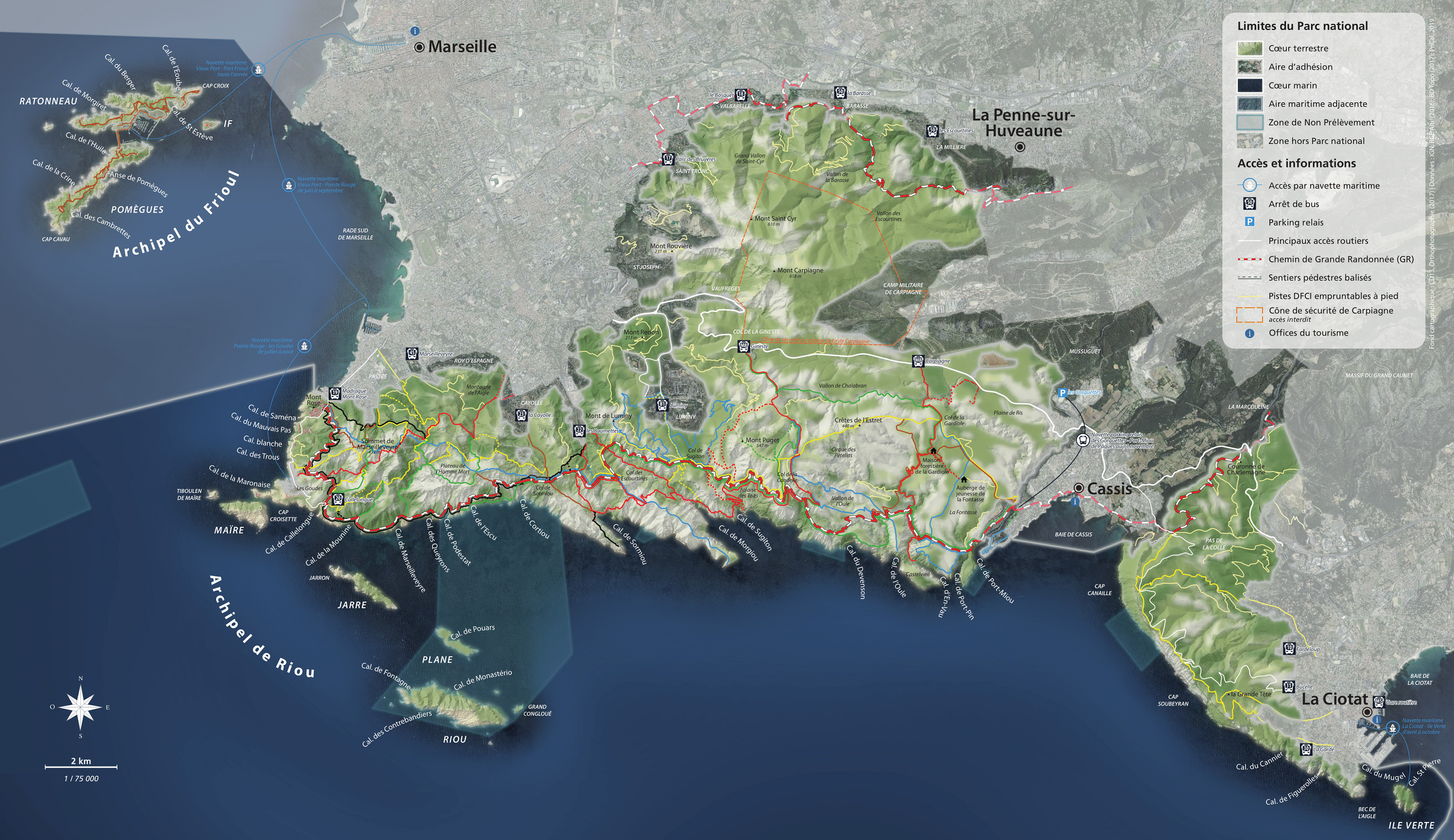

From Route des Crêtes to Sainte-Frétouse

Getting here and regulations
Before heading out to visit the Calanques National Park, make sure you are prepared and read about good conduct and regulations here.
The area is open to visitors all year round, except when closed due to fire danger.
Beware: Route des Crêtes is automatically closed on days classified as red for fire danger between 1 June and 30 September (click here for more information) and by emergency services when required by weather conditions: download the My Calanques app and receive live notifications.
Route des Crêtes is often very congested in summer. Respect the natural environment: take your rubbish with you and do not create noise pollution.
Getting here
From La Ciotat: several parts of the upper area are accessible on foot from the town centre (between 30 minutes and two hours) and from the terminus of Ciotabus buses no.30 (La Garde), no.31 (Bucelle) and no.10 (Fardeloup).
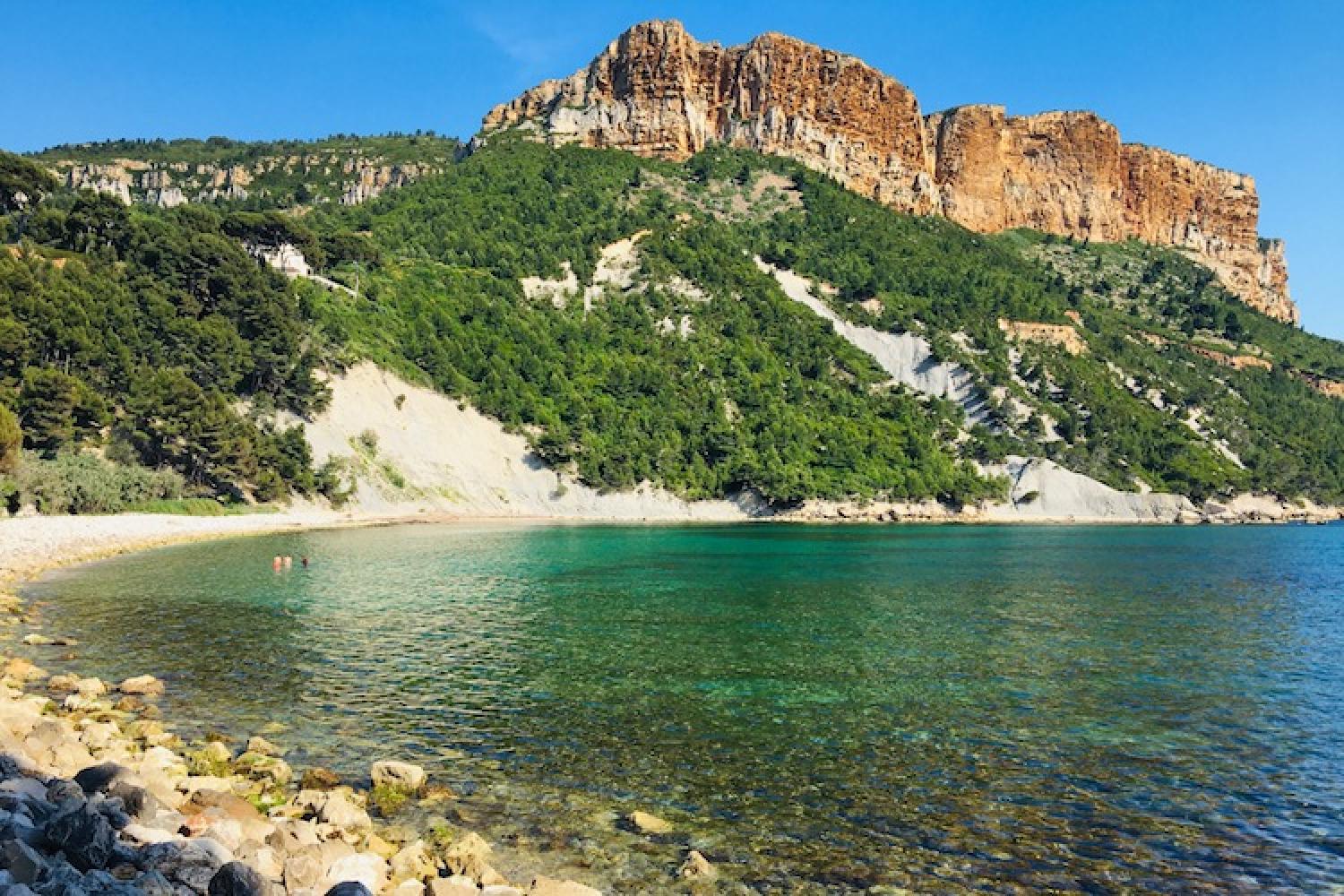
From Cassis: to contemplate the range from below and explore the surrounding coastline, head out from L’Arène beach, a 30-minute walk from the town centre. Two parallel dead-end trails, both fairly acrobatic, follow the coastline: one coastal trail, the other in the maquis shrub.
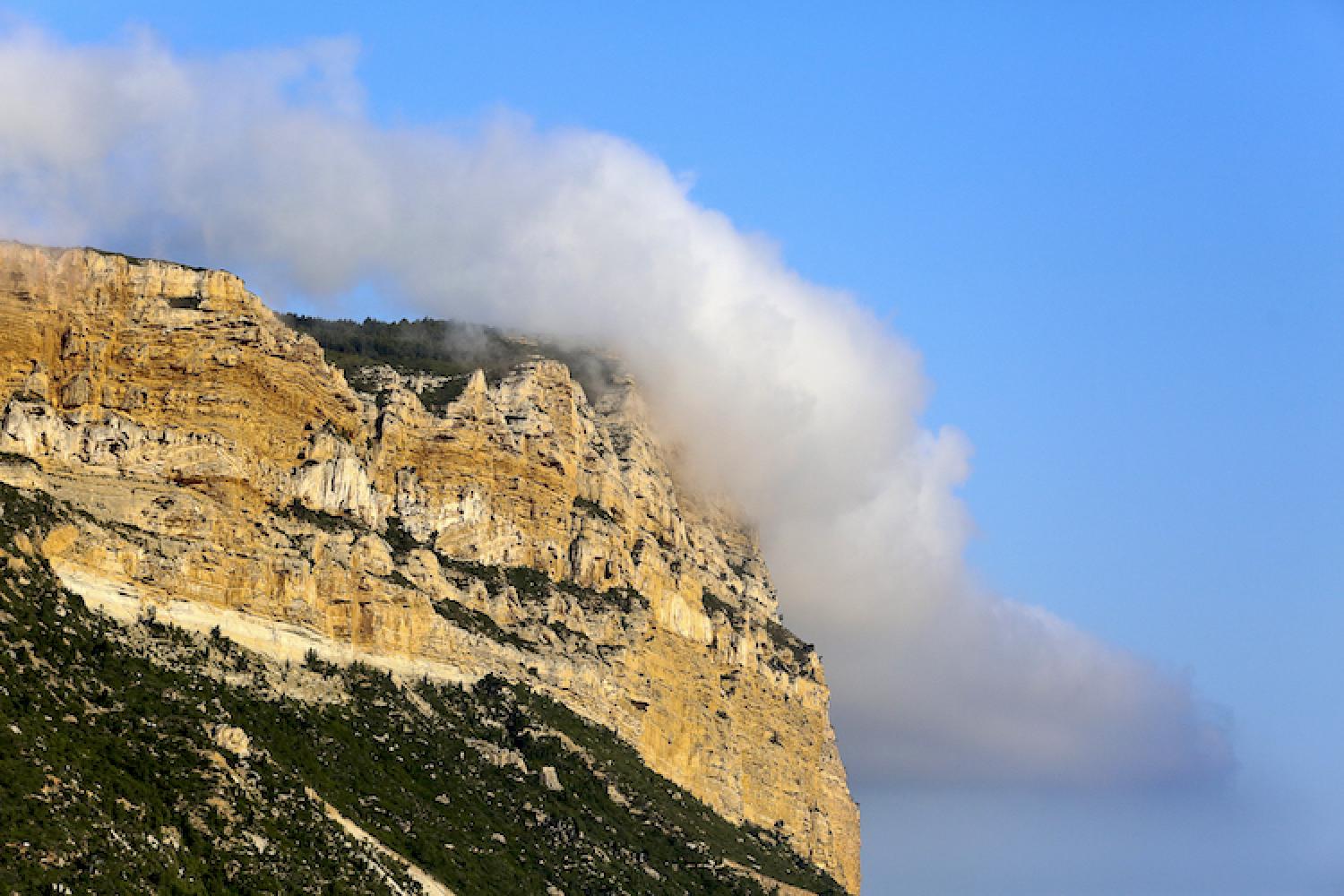
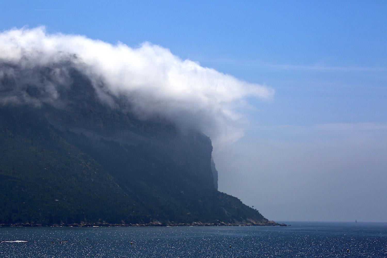
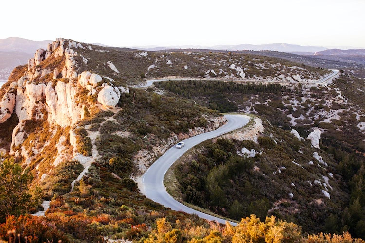
Route des Crêtes, accessible from Cassis and La Ciotat, has several lookouts with small car parks or where parking is possible on the roadside.
BEWARE: when stopping on Route des Crêtes, do not approach the edge. Sudden wind can cause falls.
Localisation
GPS coordinates: 43.195761, 5.563005