
Behind the scenes
Getting here and regulations
Before heading out to visit the Calanques National Park, make sure you are prepared and read about good conduct and regulations here.
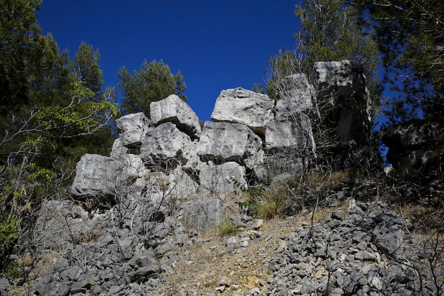
The calanque is open to visitors all year round. The surrounding hills are also open to visitors, except when closed due to fire danger. Do not try to enter unsecured military constructions.
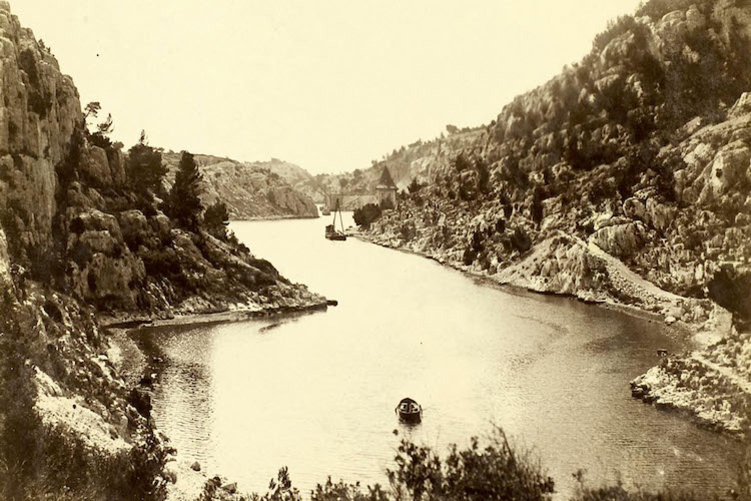
The Calanques National Park opens the last floor of the tower of Château de Port-Miou to visitors. The adjoining terrace hosts exhibitions and activities.
For safety, access to the pontoons is unauthorised.
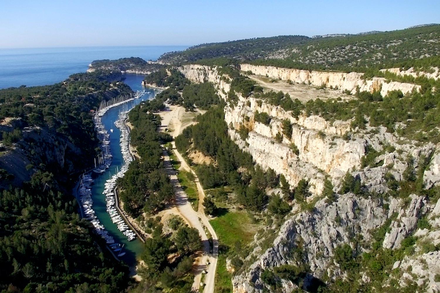
The Petit Prince trail is an easy walk around Port-Miou peninsula with informative signs. Its name is due to the wrecks found near the wreck of Antoine de Saint-Exupéry's plane. His real plane was discovered in 2000 near Riou.
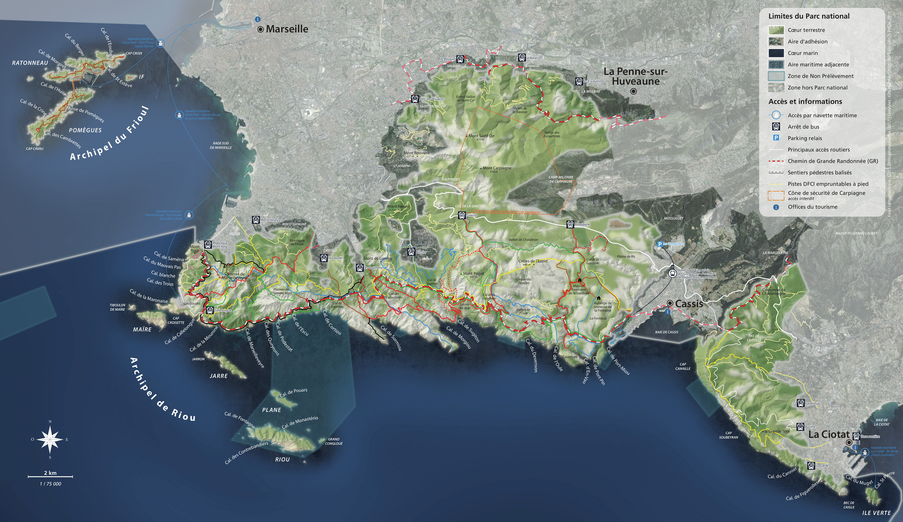
Getting here
From Cassis: Port-Miou calanque is about 30 minutes on foot from the town centre. A shuttle operates between Les Gorguettes free park-and-ride and the calanque, then continue on foot towards Port-Pin and En-Vau.
Localisation
GPS coordinates: 43.212216, 5.521905