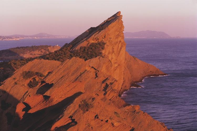
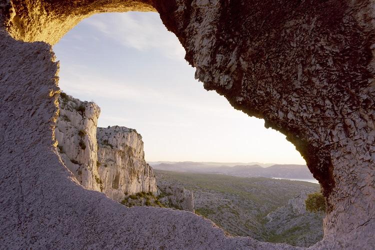
A natural and cultural jewel in the Mediterranean
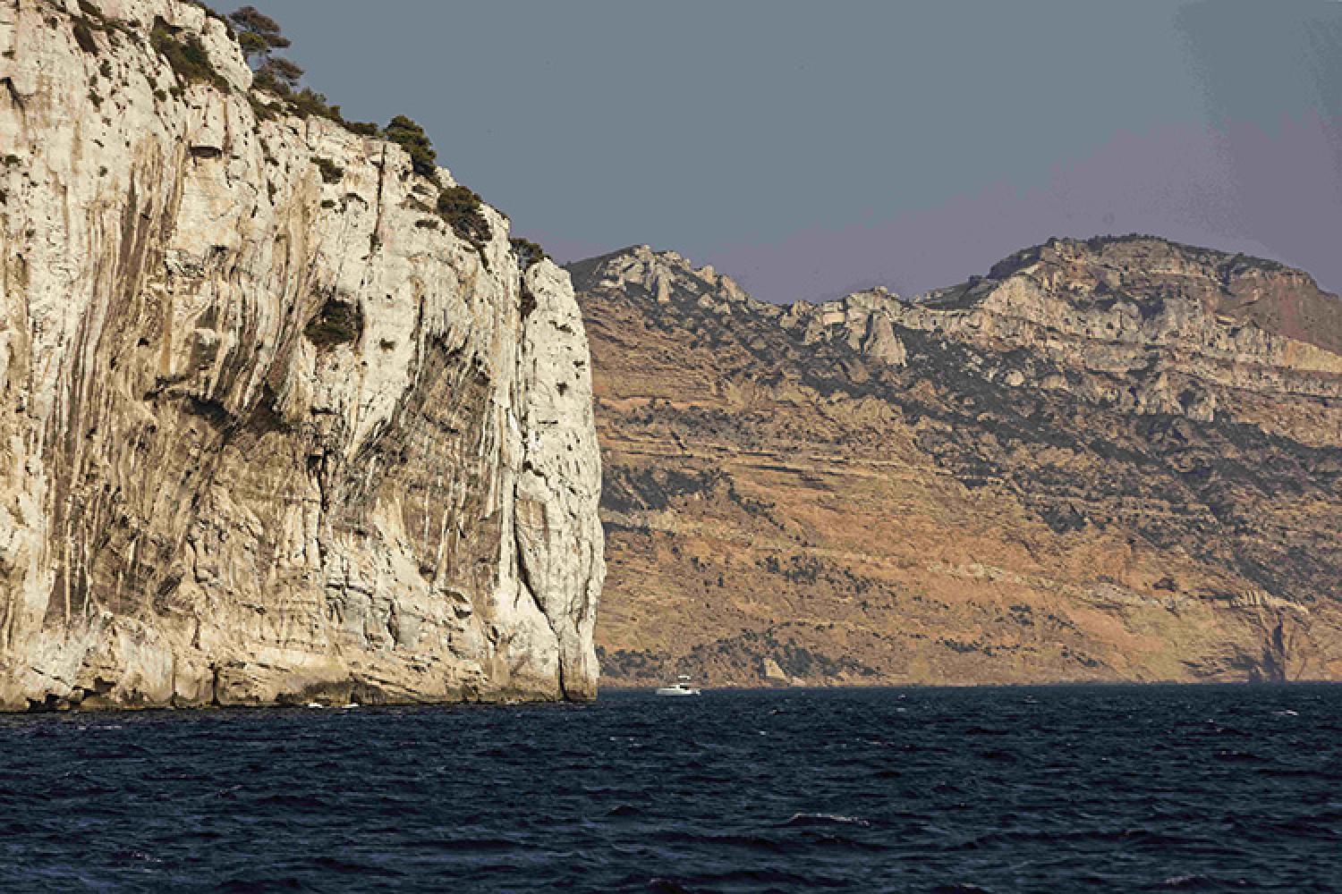
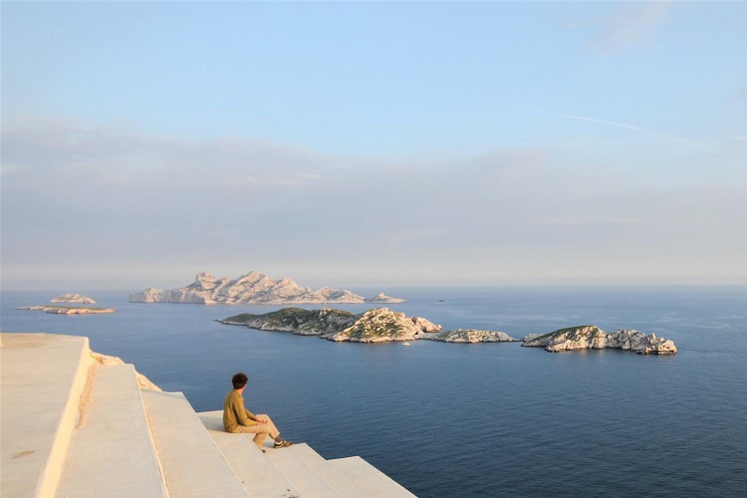
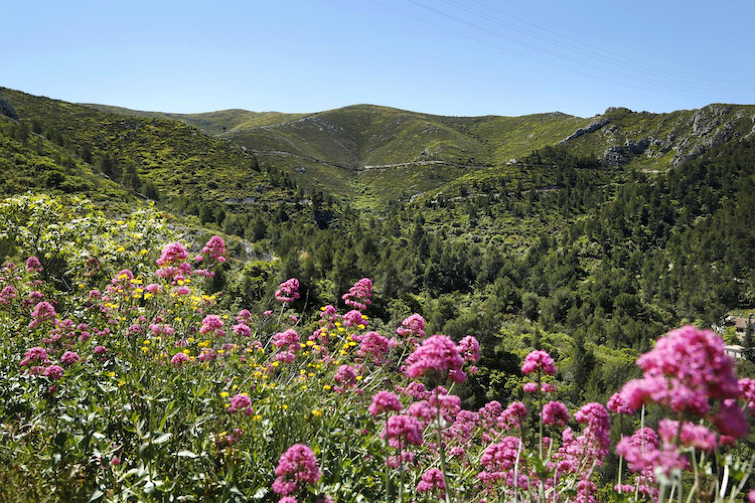
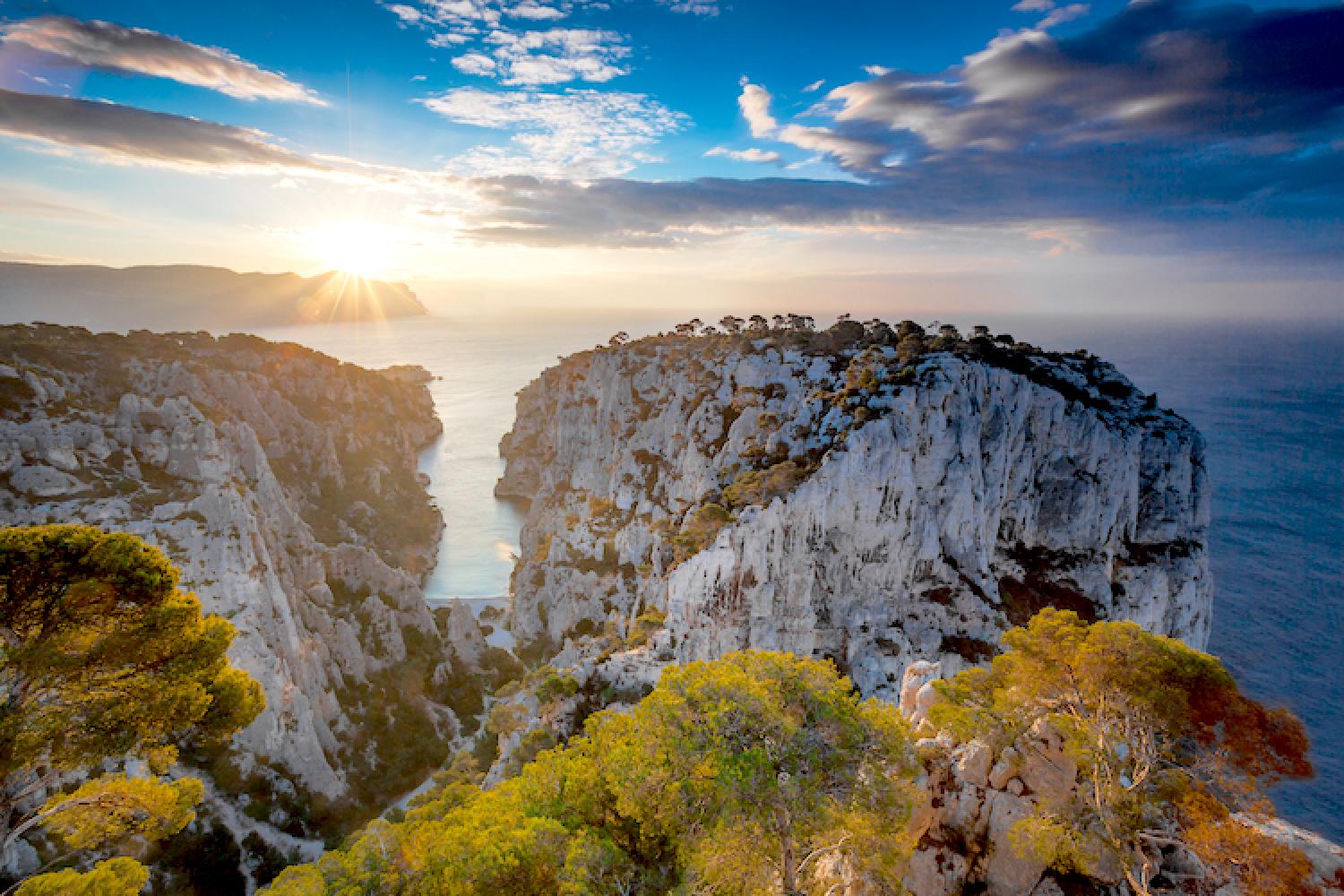
What is the Calanques National Park?
Identity card
- National Park date of birth: 18 April 2012 (signing of the decree)
- Location: Bouches-du-Rhône (department number 13)
- Terrestrial core: 8,500 hectares, 3 communes (Marseille, Cassis and La Ciotat)
- Marine core: 43,500 hectares
- Partnership zone: 2,630 hectares, 3 communes (Marseille, Cassis and La Penne-sur-Huveaune)
- Adjacent maritime area: 97,700 hectares
- Biodiversity: 140 protected terrestrial animal and plant species and 60 marine heritage species
- Total attendance: Between 2 and 3 million visitors per year on land and at sea
The different areas of the National Park
- The core of the Park is the most protected part. It benefits from reinforced protection through specific regulations. In addition to the terrestrial core, the Calanques National Park has the particularity of having a marine core covering 90% of the total core area, like the Port-Cros and la Guadeloupe national parks.
- The partnership zone on land constitutes the territory in ecological solidarity with the core area, in which the communes voluntarily commit themselves to encourage its sustainable development, with the support of the National Park. In the Calanques National Park, the municipalities of Marseille, Cassis and La Penne-sur-Huveaune have chosen to join this area. They thus constitute the perimeter of the National Park's partnership zone, which was ratified by the prefectoral decree of 19 September 2012.
- At sea, the adjacent maritime zone also specifies sustainable development guidelines, with the difference that the municipalities are not obliged to adhere to them.
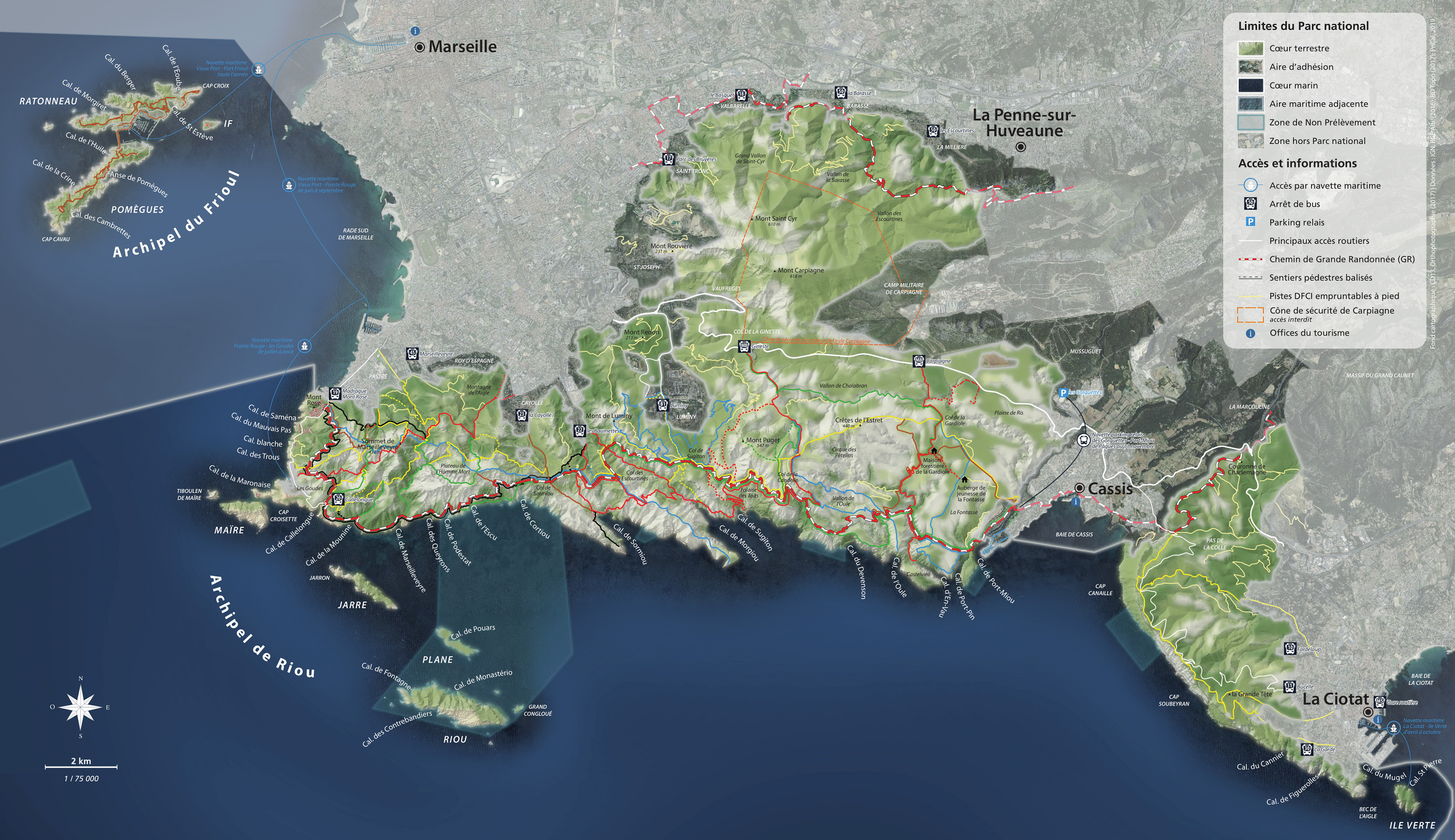
Click on the map to enlarge it
Preserving, welcoming and communicating
An exceptional natural monument between Marseille, Cassis and La Ciotat, the Calanques are protected and managed by the Calanques National Park public institution.
In collaboration with local stakeholders, the institution leads and implements the National Park charter, a shared territorial project whose main objectives are to:
- protect the natural, landscape and cultural heritage
- preserve the character of the area, in particular its tranquility, for the benefit of the wildlife, but also the inhabitants, users and visitors
- contribute to knowledge acquisition, to respond to the main issues for the Mediterranean (land and sea in a periurban context)
- welcome the public and communicate knowledge about the richness and the fragility of the terrestrial and marine heritage
- control activities and ensure that the regulations are followed
- contribute to the sustainable development and influence of the territory
Achieving these objectives depends above all on management measures, such as development, maintenance of the environment, special regulations governing use, and raising visitor awareness.
Listing for protection
Faced with the threats to their splendid landscapes, the Calanques have been the subject of spontaneous defence movements by inhabitants and users since the beginning of the 20th century. This struggle led to a decisive advance when the massif between Marseille and Cassis received listed status in 1975, under the 1930 law protecting landscapes.
However, faced with multiple pressures linked to the proximity of France's second largest city (urban pressure, pollution, overtourism, excessive removal of species, forest fires, etc.), local people shared the belief that existing protection tools were insufficient and decided in 1999 to create the "Groupement d'Intérêt public des Calanques" (GIP de Calanques), a consultation, awareness and study structure bringing together representatives of the State and its public establishments, local authorities and civil society (environmental protection organisations, users, owners, inhabitants and professionals).
After more than 12 years of intense and often difficult consultation, the "GIP de Calanques" will have achieved the objective set by its members and awaited by thousands of inhabitants and users: to provide the Calanques with a protection and management tool commensurate with their value and their challenges.
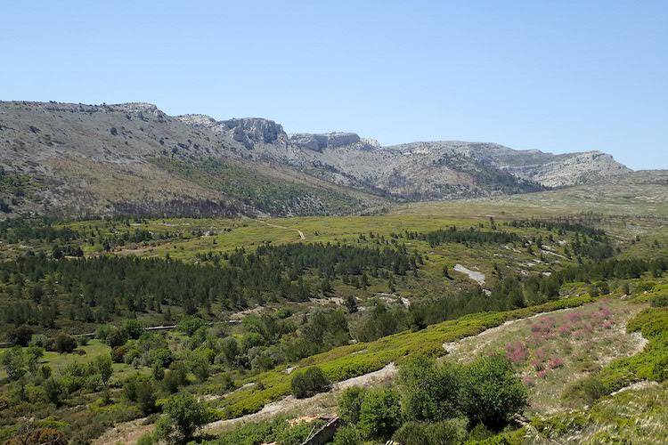
A history of the area
Agricultural and communal areas
Until the late 19th century, the territory of what is now the Calanques National Park was, in its Marseille part, divided into large private agricultural, forestry and pastoral properties organised around bastides (Pastré, Luminy, etc.) and other farms (Logisson, Gardiole, Carpiagne, etc.).
The phylloxera attacks on the vine in the early 20th century, the industrialisation of Marseille, the two world wars, and the granting of listed status to the site gradually led private owners to sell their land to the French State, either to the Ministry of Agriculture (1897, 1970), the Ministry of Defence (1895) or the Ministry of Culture, to the City of Marseille (1960, 2016), to the Department of Bouches-du-Rhône (1961-1987) as well as to the Conservatoire du Littoral (from 1978 to the present).
In contrast, the natural areas of the communes of Cassis, La Ciotat and La Penne sur Huveaune have remained mainly communal since the Revolution or sometimes since earlier periods.
Owners and managers
This unique land history is reflected today in a mosaic of properties, 90% of which are public. This configuration constitutes an asset for the protection of the heritage. The management of these various public properties is ensured by the following services:
- the departmental natural areas division of the Bouches-du-Rhône for estates belonging to the department,
- the Calanques National Park public institution, co-managed with the municipalities of Marseille, Cassis and La Ciotat, for properties belonging to the Conservatoire du Littoral
- the City of Marseille's Natural Areas and Risks Department for its land
- the French National Office for Forests for State-owned land (Ministry of Agriculture)
- the Direction départementale des territoires et de la mer for the public maritime domain, with management delegated to the Métropole Aix-Marseille-Provence for the small ports
- the Centre des monuments nationaux for the Ile d’If (Ministry of Culture)
- the Inter-regional Directorate for the Mediterranean Sea for Ile de Planier
The Office National des Forêts also ensures the application of the legal status of the forestry regime for the land that benefits from it, owned by the municipalities of Marseille, Cassis, La Ciotat and La Penne sur Huveaune, as well as the Department and the Conservatoire du Littoral. This organisation also contributes to the sustainable management of forest areas belonging to the Ministry of Defence (Carpiagne) through a specific agreement.
In addition, the Bouches-du-Rhône Department, the Aix-Marseille-Provence Metropolis and the towns of Marseille, Cassis and La Ciotat manage and police the roads open to public traffic in the core areas of the Park.
The National Park: guaranteeing consistency of actions
The National Park does not own any property in the area. Its action lies in coordinating all the players and their actions, without taking their place.
In order to ensure consistency of actions and to carry out joint discussions on the major management strategies for the area, the National Park Authority regularly leads the Working Group of Public Owners of the Park (GT3P), which works in the general interest of protecting and enhancing the area classified as the "core zones of the National Park".
Did you know?
Before its creation on 18 April 2012, the Calanques National Park already included 6 listed sites:
- 29 November 1934 for La Gardiole state forest,
- 31 July 1936 for the Calanques d’En-Vau and Port-Pin,
- 29 August 1975 for the Massif des Calanques de Marseille and Cassis,
- 27 December 1976, the Public Maritime Domain part of the Massif des Calanques site,
- 4 April 1989, the Cap Canaille, the Bec de l’Aigle, their surroundings and the corresponding Public Maritime Domain,
- since 2003, the Riou archipelago, classified as a national biological reserve.
The National Park is also home to three monuments with historical classification, including the Grottes (caves) Cosquer, Figuier, Renard and La Triperie, a listed historical monument and a remarkable garden: the Park du Mugel.
 Video
Video
 Links
Links
The Geology and landscapes of the Calanques National Park
Interactive maps of public owners in the Calanques National Park
Interactive map of heritage locations
From 49 BCE to 2012: an historical chronology of the Calanques National Park
The history of the creation of the Calanques National Park, in the "Revue Marseille"